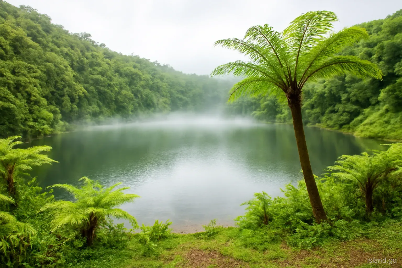
Grand Etang Lake lies in the mountains at the centre of Grenada, at roughly 530 metres (about 1,740 feet) above sea level, on the main road over the island's spine between St George's and Grenville. The name is French for "big pond", left over from the period of French rule, and the description is modest: a quiet, roughly circular sheet of water surrounded by forested slopes, often half hidden by cloud.
What makes it remarkable is how it got there. Grand Etang sits in the crater of an extinct volcano, one of several old volcanic centres that built the island. Its setting, at the heart of a forest reserve and national park, gives visitors an easy way to see Grenada's montane rainforest and cloud forest without a long hike. This explainer covers the lake's origins, the climate and forest around it, the stories attached to it and how to make the most of a visit; for detailed trail routes, see a dedicated hiking guide or hire a local guide.
A lake in an old volcano
Grenada is a volcanic island, part of the Lesser Antilles chain that runs in an arc from the Virgin Islands down to Grenada. Over a very long period, a series of volcanic centres erupted lava and ash to form the island's mountainous interior. Grand Etang Lake occupies a crater left by one of these centres, high on the central ridge. Once volcanic activity ceased, the depression filled with rainwater and runoff, creating a lake with no large river feeding it.
Geologists describe several lake-filled craters in Grenada, including Lake Antoine in the north-east, a low-lying explosion crater close to the coast. Grand Etang is different in setting: it sits high in the mountains, surrounded by peaks such as Mount Qua Qua, which rises a little over 700 metres just to the north-west. No eruption has occurred here in recorded history, and scientists regard the island's land volcanoes as long dormant or extinct. The volcanic activity that does continue in the area is offshore, at Kick 'em Jenny, the submarine volcano north of Grenada, which is monitored constantly.
Why it is so often in cloud
The north-east trade winds that blow across the Atlantic carry moisture-laden air towards Grenada. When that air meets the island's central mountains, it is forced upwards, cools, and the moisture condenses into cloud and rain. This is why the interior is far wetter than the coast. Rainfall in the Grand Etang area is several times higher than on the dry south-west coast around Point Salines, and the lake can be wrapped in mist while Grand Anse Beach, less than half an hour's drive away, is in full sunshine.
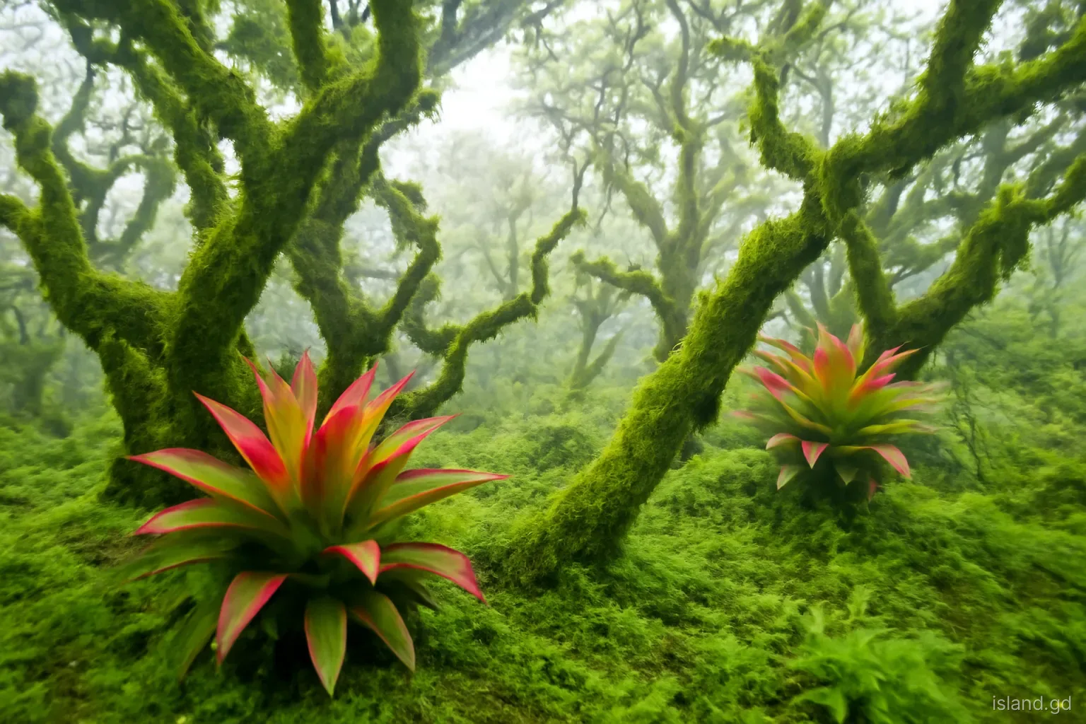
The result is a cool, damp microclimate. Temperatures at the lake are noticeably lower than at sea level, and on a cloudy day it can feel genuinely chilly, especially after rain. Visitors arriving in beachwear are often surprised. The constant moisture also shapes the forest: mosses, ferns, bromeliads and orchids grow on trunks and branches, and the vegetation becomes stunted and wind-shaped on the exposed summits nearby. For the best chance of seeing the lake clearly, go in the morning, when cloud is often thinner, and in the dry season, roughly January to May.
What lives around the lake
Montane rainforest. The slopes around the lake are covered in tall forest typical of the Windward Islands' mountains, with species such as gommier and bois canot, as well as planted trees like mahogany and blue mahoe from earlier forestry programmes. Much of the canopy was damaged by Hurricane Ivan in 2004 and has been regrowing since.
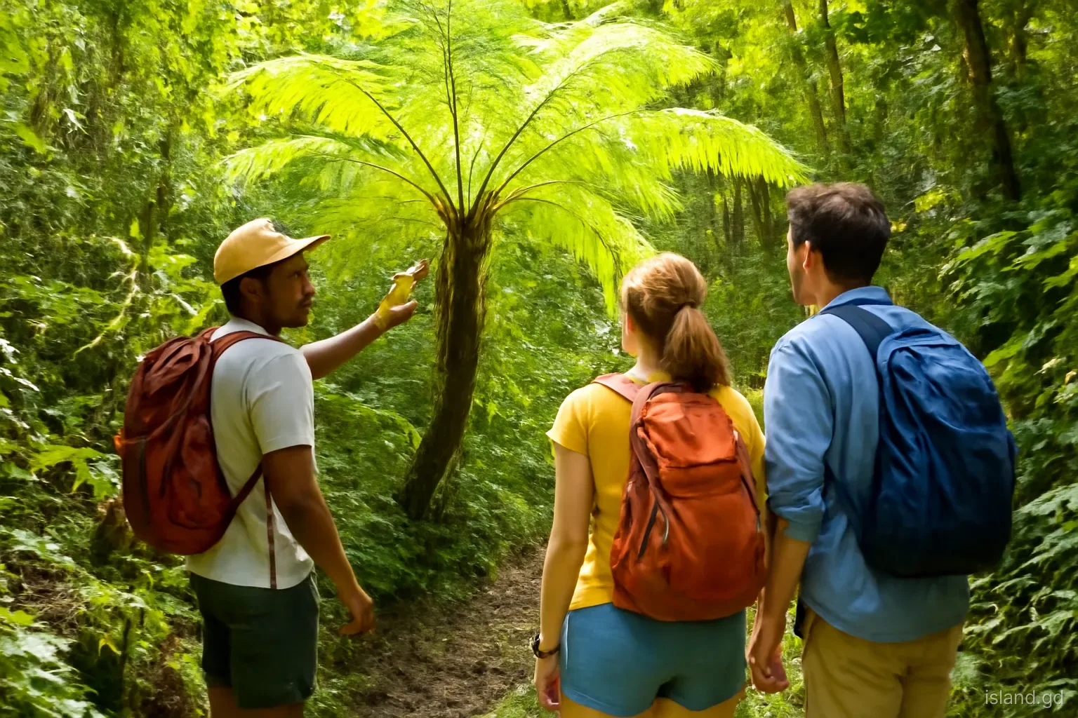
Tree ferns and epiphytes. Tree ferns, some taller than a person, line the paths and roadsides, and branches are draped with mosses, ferns and bromeliads that take water and nutrients from the air and rain.
Mona monkeys. The mona monkey, introduced from West Africa centuries ago, lives in the forests around Grand Etang. Troops sometimes appear near the visitor area and the road. They are wild animals and should not be fed.
Birds. Hummingbirds, tanagers, flycatchers and other forest birds are commonly seen, and the lake's edges attract herons. Early morning is best for birdwatching.
In the water. The lake has fish, some of them introduced, and its margins support aquatic plants and insects. The water is generally considered unsuitable for swimming, and its steep, muddy edges make access difficult.
Stories, names and the lake in local culture
Like many deep, dark lakes, Grand Etang has gathered stories. Local lore has long held that the lake is bottomless, and tales of a mermaid or water spirit living in its depths circulate in Grenadian folklore. These stories reflect the lake's atmosphere, mist rolling across still water ringed by forest, more than any scientific mystery. Surveys have shown that the lake has a measurable bottom, but the stories remain part of the place's identity and are worth asking about if you visit with a local guide.
The lake's French name echoes Grenada's colonial history: the island passed between French and British control several times in the eighteenth century before becoming British, and French and French Creole place names survive across the island, from Grand Etang and Morne Jaloux to Lance aux Épines. The surrounding area became a forest reserve in the colonial era to protect the island's water supply, and that role continues today. The forests of the central mountains act as a giant sponge, feeding the rivers and springs that supply much of Grenada's water, which is one reason protection matters beyond scenery.
Visiting the lake: a simple plan
The lake is easy to reach by car, taxi or bus on the road between St George's and Grenville. A straightforward visit looks like this:
- Start early. Leave St George's in the morning to arrive before cloud thickens and before tour groups and cruise excursions reach the area.
- Stop at the visitor centre. The Grand Etang visitor centre, run by the forestry and national parks authorities, has exhibits on the forest and its wildlife. A small entry fee is usually charged for visitors; confirm current arrangements on arrival.
- Walk to the lake shore. A short walk leads down to the water. Allow time just to stand and watch the mist move across the surface.
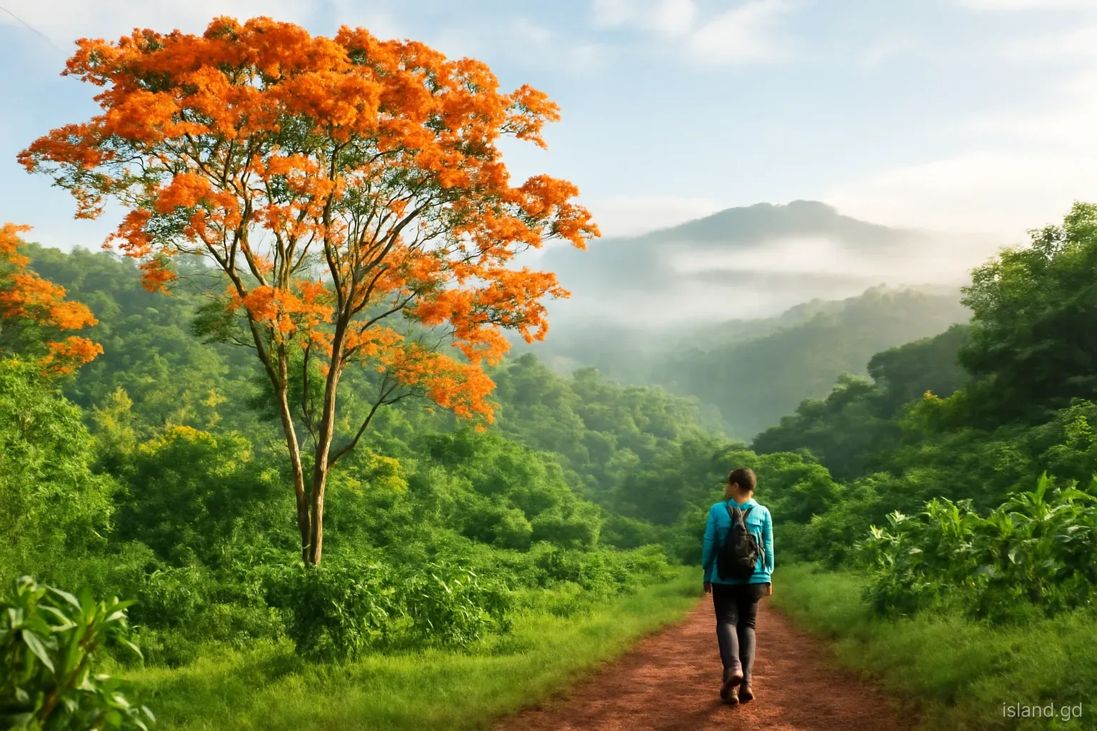
- Consider a short trail. Trails of varying difficulty start nearby, from short loops to longer climbs such as Mount Qua Qua. Trail conditions change after heavy rain, so ask at the visitor centre which are open and passable.
- Pack for the climate. Bring a light rain jacket, a warmer layer, shoes with grip and insect repellent. Paths can be muddy and slippery even in the dry season.
- Combine with nearby stops. Annandale Falls, near the St George's side of the road, and the Seven Sisters trailhead on the eastern side, can be added to make a full day in the interior.
Common mistakes at Grand Etang
Most disappointments at the lake come from a few predictable errors:
- Arriving in the afternoon in the rainy season, when cloud often settles over the lake and showers set in.
- Feeding the monkeys. It is tempting, especially when vendors encourage photographs with them, but feeding wild monkeys harms their health and can make them aggressive.
- Underestimating short trails. Even short walks can involve slippery clay, roots and steep sections. Flip-flops are a poor choice.
- Swimming in the lake. It is not set up for swimming, the edges are steep and muddy, and freshwater in the tropics carries some health risks.
- Leaving rubbish. There are limited bins in the park. Take everything back with you.
- Going alone on longer trails. The longer routes are poorly marked in places. A local guide improves both safety and understanding of the forest.
Frequently asked questions
Is Grand Etang Lake a volcanic crater?
Yes. Grand Etang Lake fills the crater of an extinct volcano in Grenada's central mountains, at about 530 metres above sea level. The volcano has not erupted in recorded history, and rainwater and runoff have filled the depression to form the lake seen today.
Can you swim in Grand Etang Lake?
Swimming is not encouraged. The lake is not managed for swimming, its edges are steep and muddy, and tropical freshwater can carry health risks such as leptospirosis. For a freshwater dip, waterfalls with established bathing pools, such as Annandale or Concord, are a better option, ideally with local advice.
How far is Grand Etang from St George's?
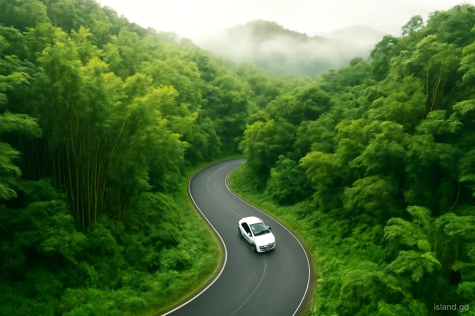
Grand Etang lies in the central mountains on the road from St George's to Grenville, roughly half an hour or so by car from the capital, depending on traffic and road conditions. The road is steep and winding with many bends, so allow extra time and drive carefully, especially in rain.
Is there an entry fee at Grand Etang?
Visitors are usually charged a small fee at the Grand Etang visitor centre, which helps support the national park. Fees and opening arrangements can change, so check on arrival. Some trails starting nearby, or crossing private land, may have separate fees or require a guide.
When is the best time to see Grand Etang Lake?
Mornings in the dry season, from about January to May, offer the best chance of clear views across the lake. In the rainy season, cloud and showers are more frequent, especially in the afternoon, though the misty atmosphere has its own appeal for photographers and walkers.