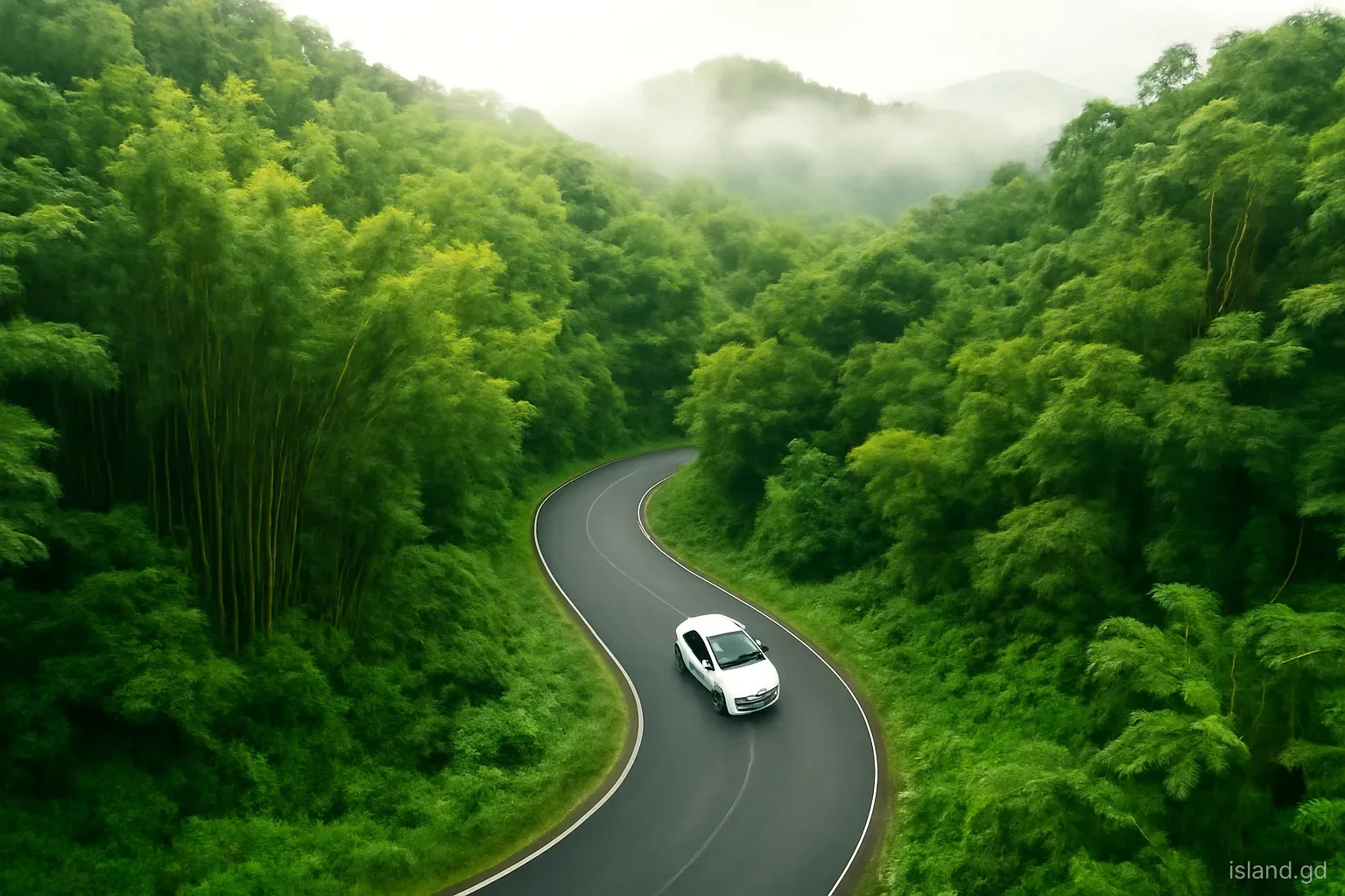
The road from St George's to Grenville over the Grand Etang ridge is the shortest way across Grenada and the most dramatic. In the space of an hour or so it climbs from the harbour of the capital, through farmland and villages, into the cloud-wrapped rainforest of the Grand Etang Forest Reserve, crosses the island's central spine and drops through the nutmeg and banana valleys of St Andrew to the east coast. Taken slowly, with a few stops, it makes one of the best days out on the island.
It is also a demanding road: narrow, steep and full of hairpin bends, with minibuses moving quickly and conditions changing with the weather. This guide describes the route as a drive, with the main stops along the way, practical advice for drivers and passengers, and a way to loop back along the coast. Opening arrangements at individual sites change, and stretches of road are sometimes affected by landslips after heavy rain, so check locally before setting out.
Leaving St George's and climbing into the hills
The route leaves St George's and climbs almost immediately, winding up through the hills of St George parish. Houses cling to steep slopes, and gaps between them offer views back over the town, the Carenage and the sea. As the road gains height, the landscape turns greener and more rural, with small farms, fruit trees and stands of bamboo along the roadside, and the air begins to cool.
The first notable stop for many travellers is Annandale Falls, reached by a short side road on the St George's side of the climb. It is one of the most accessible waterfalls in Grenada, with a short path to a pool surrounded by tropical plants. Facilities and fees have varied over the years, and in busy periods it receives cruise excursion groups, so arriving early helps. Local men have long performed jumps from the rocks into the pool for tips; whether you watch is up to you, but do not attempt the jump yourself without local knowledge of the depth and conditions.
Into the Grand Etang Forest Reserve
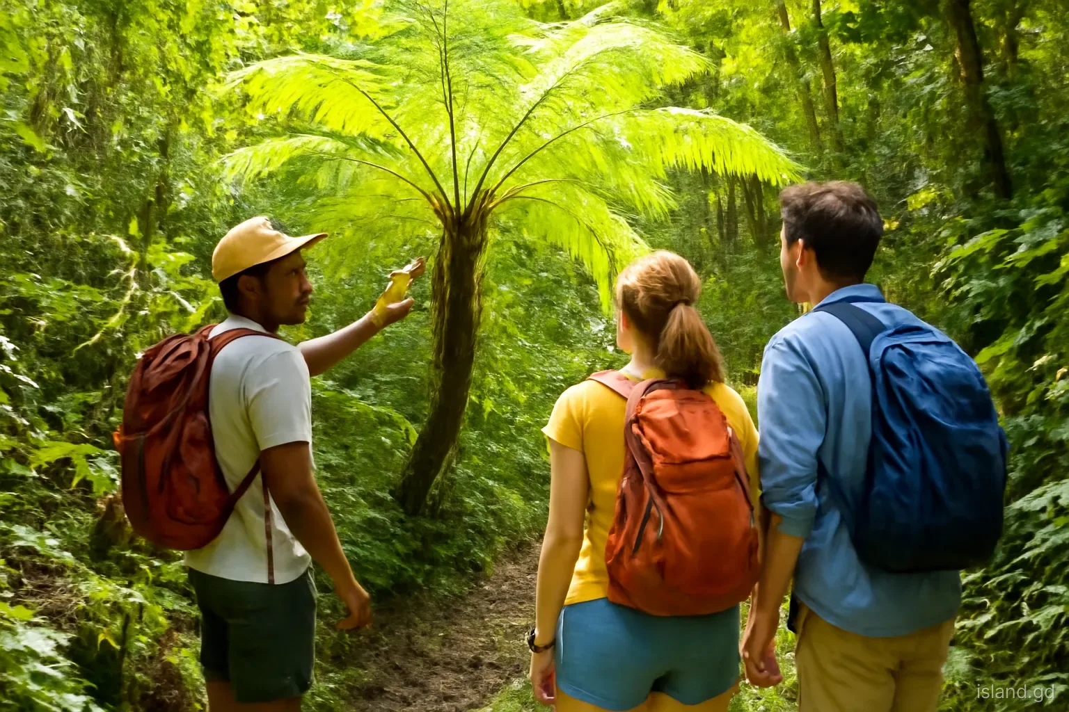
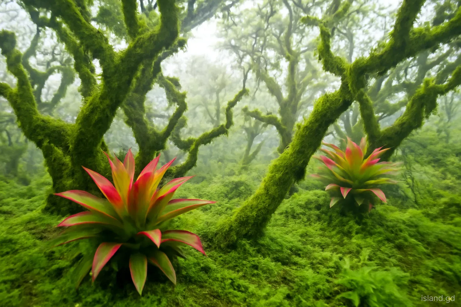
As the road climbs further, the farmland gives way to forest. Tree ferns, tall rainforest trees and bamboo crowd the roadside, cloud often drifts across the road, and the temperature drops noticeably. This is the Grand Etang Forest Reserve, part of the national park that protects the island's central mountains and their watersheds. Mona monkeys are sometimes seen near the road, and vendors at roadside stops occasionally offer monkey photographs; avoid encouraging the practice of feeding them.
Near the top of the climb lies the Grand Etang visitor centre and, a short distance away, Grand Etang Lake, set in an old volcanic crater at about 530 metres above sea level. The visitor centre has exhibits on the forest and its wildlife, and a small entry fee is usually charged. From here, short walks lead to the lake, and longer trails head into the forest, including the climb to Mount Qua Qua. Even if you are not hiking, a stop to see the lake and stretch your legs is worth it, especially in the morning, before cloud thickens.
Over the ridge and down into St Andrew
Beyond Grand Etang, the road crosses the central ridge and begins its descent towards the east coast. On the eastern side, the trailhead for the Seven Sisters waterfalls, a series of cascades in the forest, lies off the road; access has traditionally been through private land, where a fee is collected by the landowner, and a guide is strongly recommended for the muddy, steep trail. Ask locally or at the visitor centre about current access arrangements before setting off.
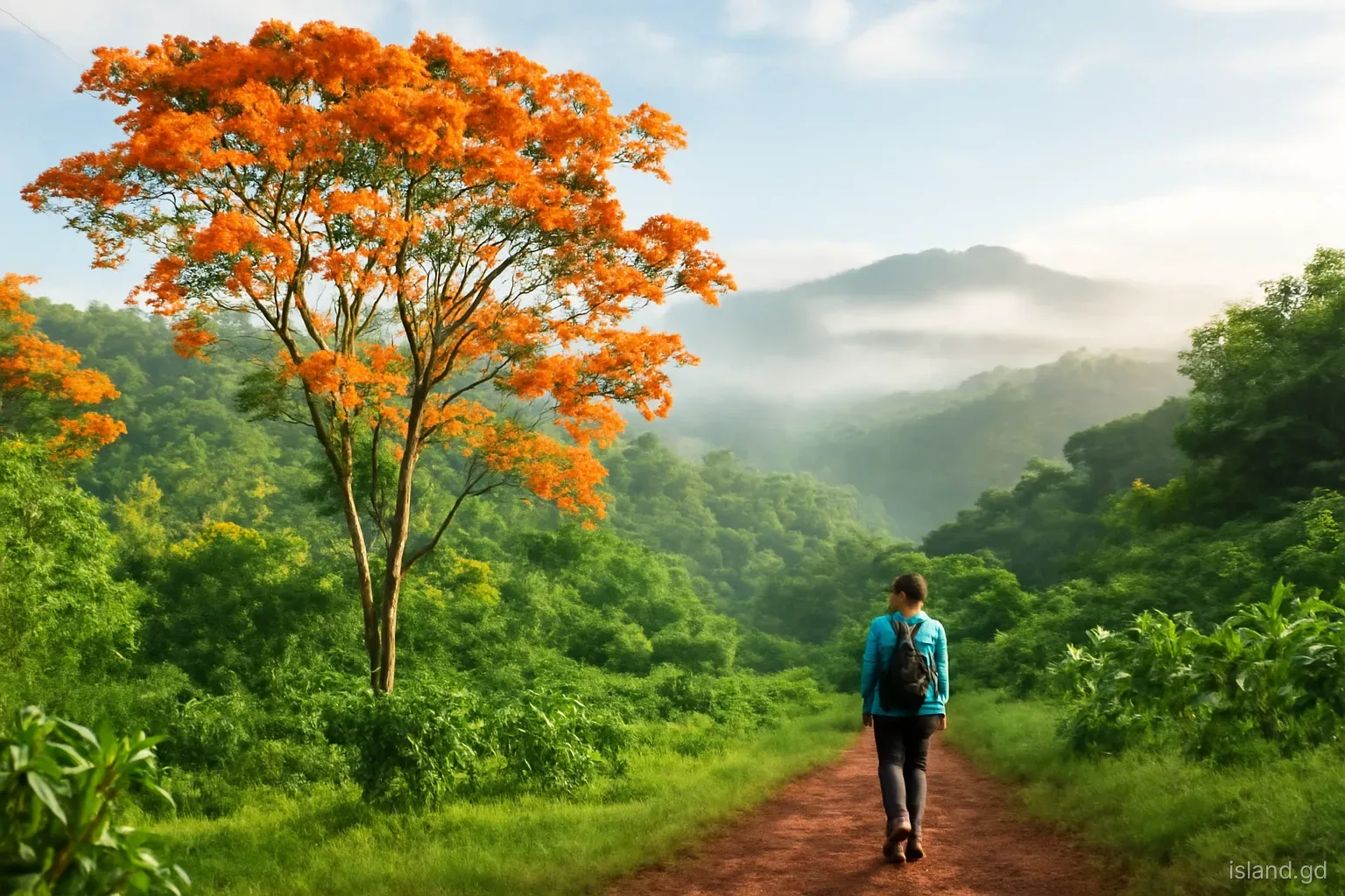
As the road continues downhill into the parish of St Andrew, Grenada's largest parish, the forest gives way to farmland again. The slopes and valleys here are planted with nutmeg, cocoa, bananas and other crops, often under tall shade trees, and villages line the road. The east side of the island is generally wetter and greener than the west, and the views open out towards the Atlantic as you descend. The road eventually reaches Grenville, the island's second town, on the east coast, with its market, bus terminal and waterfront.
Reading the landscape from the car window
Part of the pleasure of this drive is watching the island change. On the lower slopes, look for nutmeg trees, with dark glossy leaves and, in season, yellow fruit that splits to show the red mace around the seed; cocoa trees, with pods growing straight from the trunk; and banana and plantain patches on steep ground. Tall shade trees stand over the crops, and breadfruit and mango trees mark nearly every yard. Higher up, farmland thins out, bamboo groves arch over the road, and the forest closes in with tree ferns and vines.
Roadside life is part of the scene too. Small stalls sell fruit, spices and cold drinks, children walk to and from school along the verge, and farmers carry produce down to the road for collection. Slow down through villages, where people walk on the road because there are often no pavements. On the eastern descent, the Atlantic appears in the distance, often with lines of white surf, a reminder that the windward coast faces the open ocean and the trade winds that bring the rain to the mountains you have just crossed.
Practical tips for driving the route
Driving permit. Visitors need a local temporary driving permit to drive in Grenada, usually obtained through car hire companies or the police on presentation of a valid licence. Confirm current requirements when booking.
Drive on the left. Grenada drives on the left. On narrow mountain roads, keep well to your side, especially on blind bends.
Hairpins and horns. Sounding the horn before tight blind bends is common practice and helps oncoming traffic know you are there. Expect others to do the same, and slow down.
Minibuses. Local minibuses move quickly on this route. If one is close behind you, pull over safely and let it pass rather than speeding up.
Rain and landslips. Heavy rain makes the road slippery and can bring down mud, rocks and trees, particularly in the rainy season. Drive slowly, watch for debris and check conditions after heavy rain.
Fuel and cash. Fill up in St George's or Grenville, and carry cash for entry fees, guides and roadside stalls, as cards are not always accepted.
Going by bus or with a driver
You do not need to drive yourself to enjoy the route. Grenada's minibuses run between St George's and Grenville, some via the Grand Etang road and others via the east coast, and they are an inexpensive way to cross the island. Tell the driver or conductor where you want to get off, such as at the Grand Etang visitor centre, and be aware that buses on this route can be full and fast. Getting back means flagging down a passing bus going in the right direction, which is usually straightforward in daylight but less certain late in the day.
Hiring a taxi driver for a half or full day is another option, giving flexibility to stop where you want without worrying about the road. Many drivers know the stops well and can recommend guides for the trails. Agree the price, the route, the stops and the time in advance, and confirm whether entry fees are included. For groups, a private tour can be good value, and it removes the stress of driving unfamiliar mountain roads.
Making a loop: the return along the east and south coasts
Rather than retracing the mountain road, many visitors loop back to St George's along the coast. Options include:
- The Eastern Main Road south from Grenville, through St Andrew and St David, back to the St George's area. It is longer but less steep, with glimpses of the Atlantic coast.
- A northern loop from Grenville up the east coast to Sauteurs and back down the west coast through Victoria and Gouyave, which makes for a full day around the island.
- Stops on the way can include the market in Grenville, Pearls and the coastline of St Andrew, or, on the northern loop, River Antoine and Lake Antoine in St Patrick.
- Timing matters: aim to finish before dark, around six in the evening year-round, as driving unfamiliar roads at night is much harder.
- Allow time. Distances are short, but roads are slow; a loop with several stops easily fills a day.
Frequently asked questions
How long does it take to drive from St George's to Grenville via Grand Etang?
Without stops, the drive usually takes around an hour, depending on traffic, weather and road conditions. With stops at Annandale Falls, the Grand Etang visitor centre and the lake, allow half a day or more. The road is winding and steep, so do not rush.
Is the Grand Etang Road difficult to drive?
It is manageable for confident drivers, but challenging: narrow, steep, with many hairpin bends and fast-moving minibuses. Rain can make it slippery, and landslips occasionally affect the road. Driving on the left adds to the challenge for some visitors. Take it slowly and consider hiring a driver.
Can you take a bus to Grand Etang?
Yes. Some minibuses between St George's and Grenville travel via the Grand Etang road. Tell the conductor where you want to get off. Returning means flagging down a passing bus, which is easiest in daylight. Confirm which buses use the mountain route before boarding.
Do you need a permit to drive in Grenada?
Yes. Visitors need a local temporary driving permit in addition to their own valid licence. It is usually obtained through car hire companies or at a police station. Requirements and fees can change, so confirm current rules with your rental company or the police.
Where can you stop on the Grand Etang Road?
Popular stops include Annandale Falls near the St George's side, the Grand Etang visitor centre and lake at the top, the Mount Qua Qua trailhead, and the Seven Sisters waterfalls trailhead on the eastern side. Roadside viewpoints and fruit stalls also make good short breaks.