
 Grenada Mainland
Short, Steep and Fast: Understanding Grenada's Rivers
Grenada's rivers are short, steep and quick to flood. How they shape villages, water supply, waterfalls and river limes, and how to stay safe near them.
Regions, coastlines, interior, villages of the main island.
Grenada Mainland
Grenada's rivers are short, steep and quick to flood. How they shape villages, water supply, waterfalls and river limes, and how to stay safe near them.
 Grenada Mainland
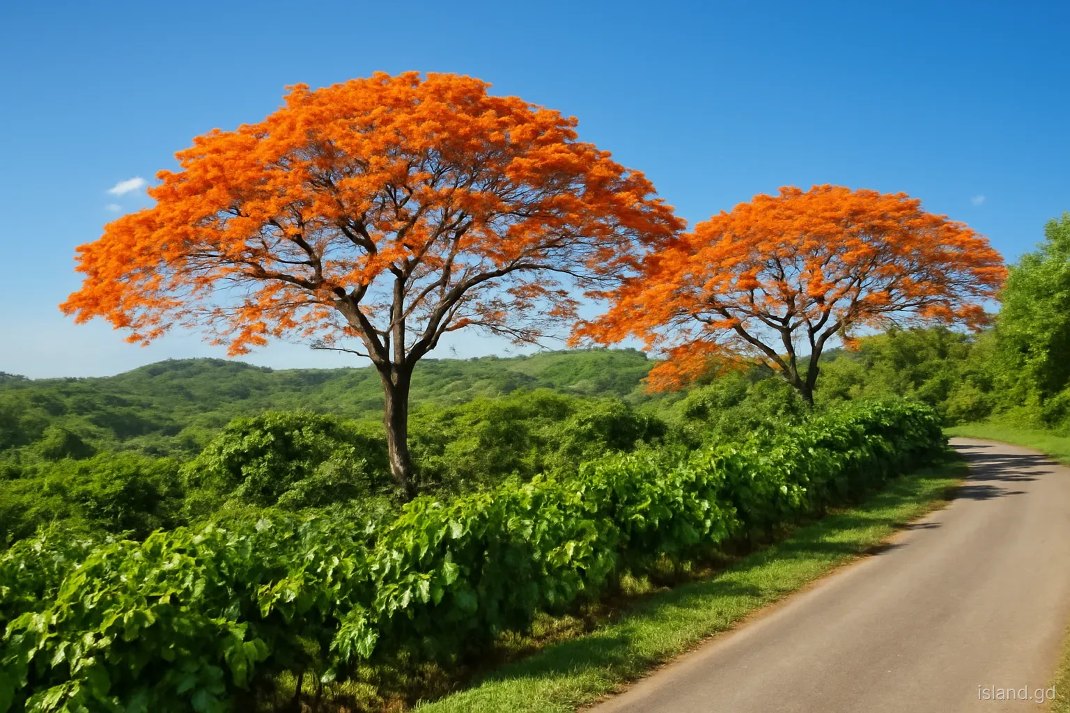
How Grenada's main island changes through the year: dry-season brown hills, flowering trees, mango months, the rains and hurricane season, month by month.
 Grenada Mainland
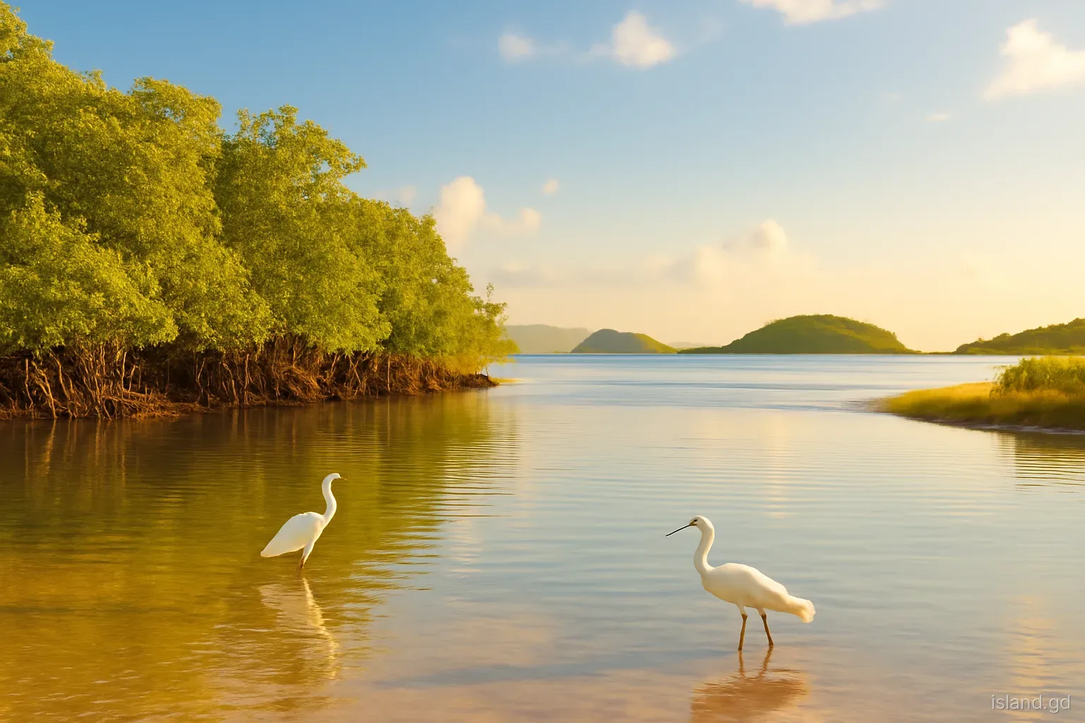
Grenada's northern tip in St Patrick holds Levera's wetlands and turtle beaches, the River Sallee springs and views to Carriacou. A field guide to the area.
 Grenada Mainland
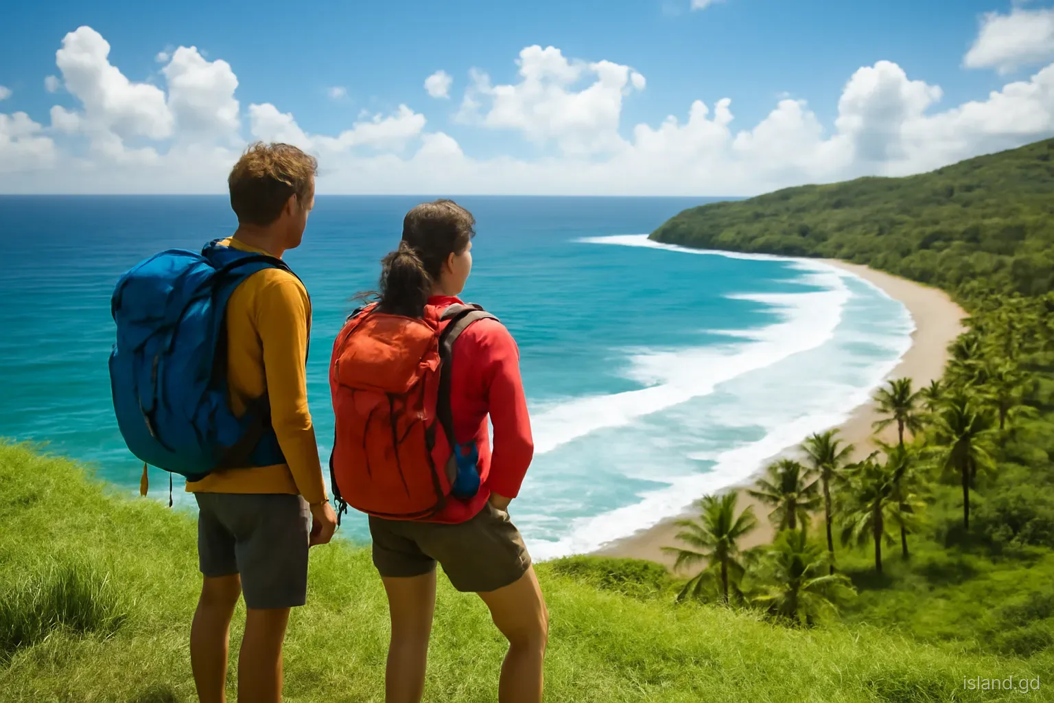
Grenada's windward and leeward coasts differ in rain, sea, beaches, villages and pace. A side-by-side comparison to help you choose where to explore or stay.
 Grenada Mainland
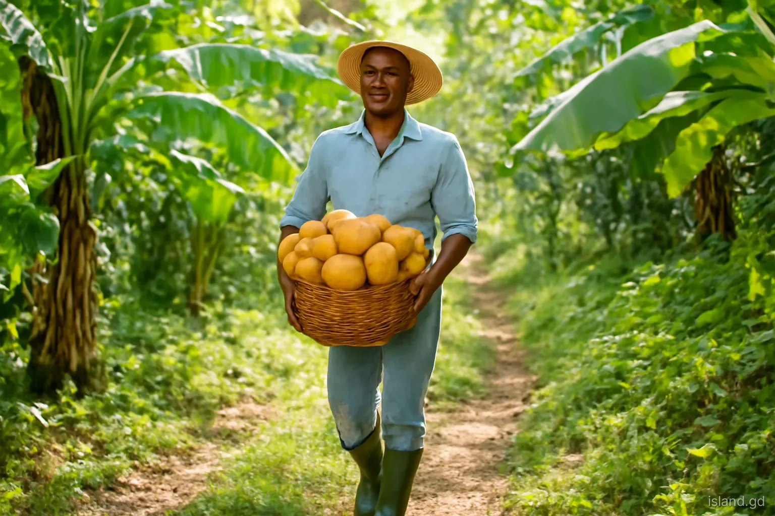
Away from the coast, Grenada's hill villages live by cocoa, nutmeg and ground provisions. What these interior communities are like and how to visit respectfully
 Grenada Mainland
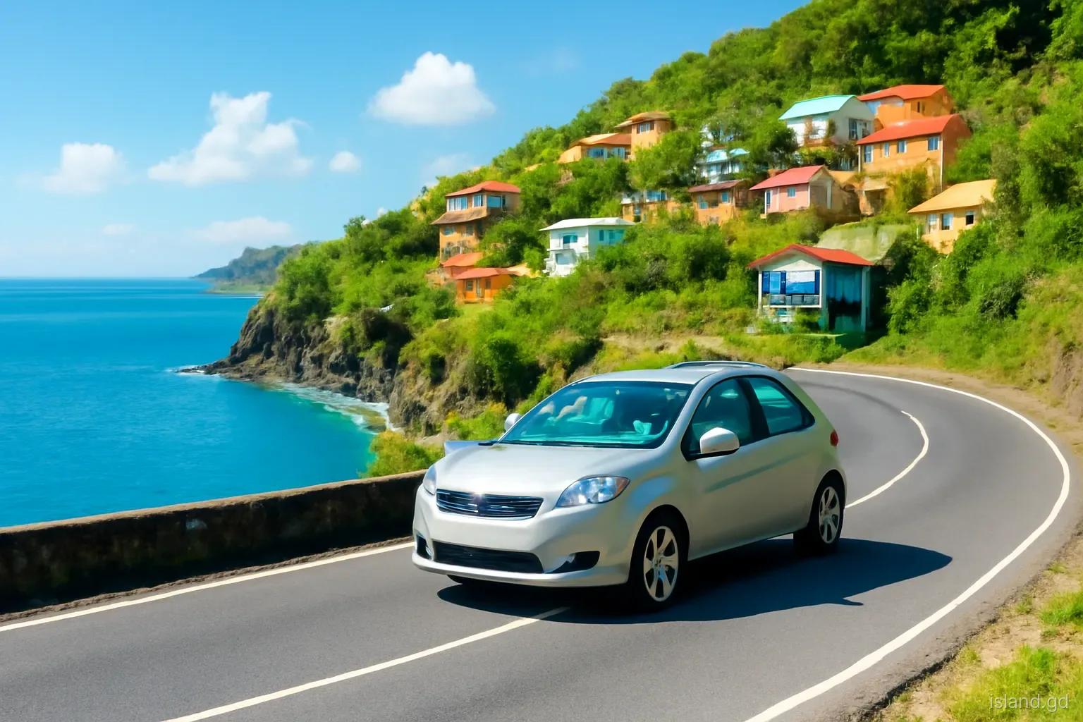
The leeward coast road links St George's to Sauteurs through fishing villages, river valleys and cliffs. A village-by-village guide to the drive and its stops.
 Grenada Mainland
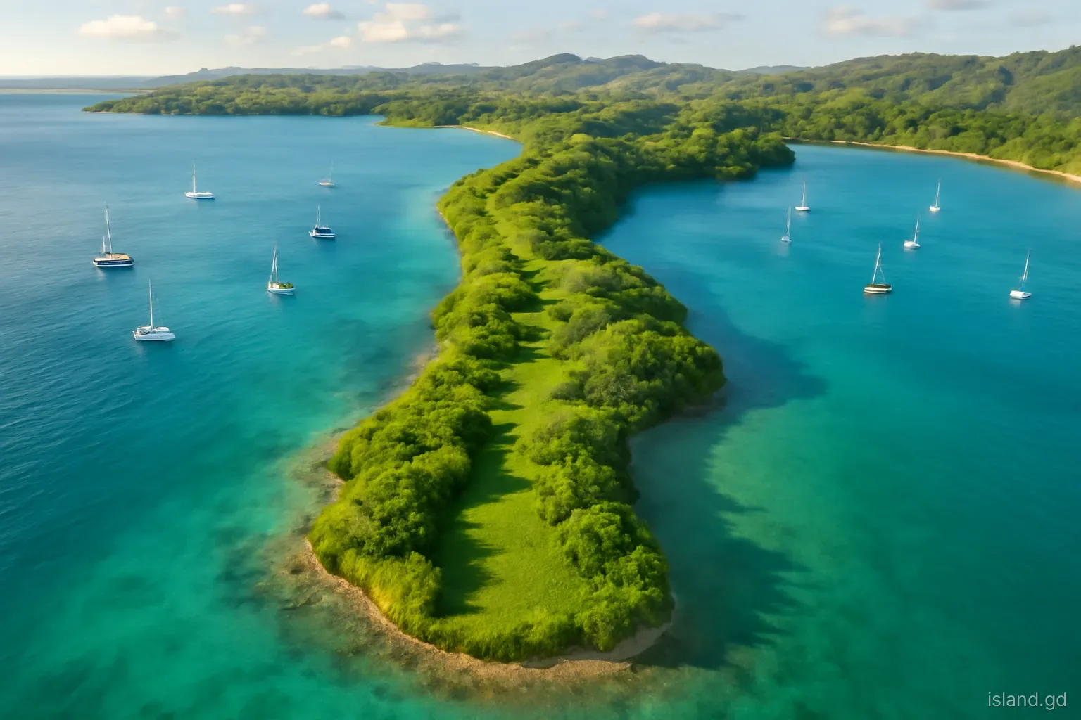
Grenada's south coast is a row of points and deep bays, from Point Salines to Westerhall. How each stretch differs, what lives there and how to explore it well.
 Grenada Mainland
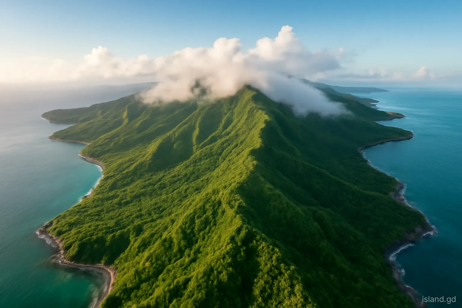
Grenada's main island holds rainforest peaks, a dry southern peninsula, a wet Atlantic side and steep leeward villages. A region-by-region landscape guide.
Spotted something out of date, or have a question about Grenada? Leave a note and we'll get back to you.