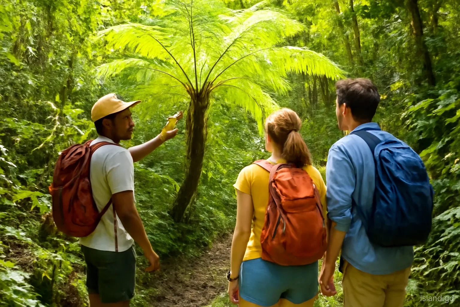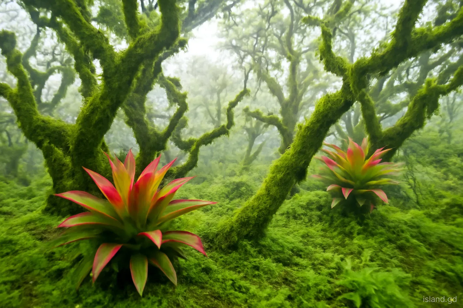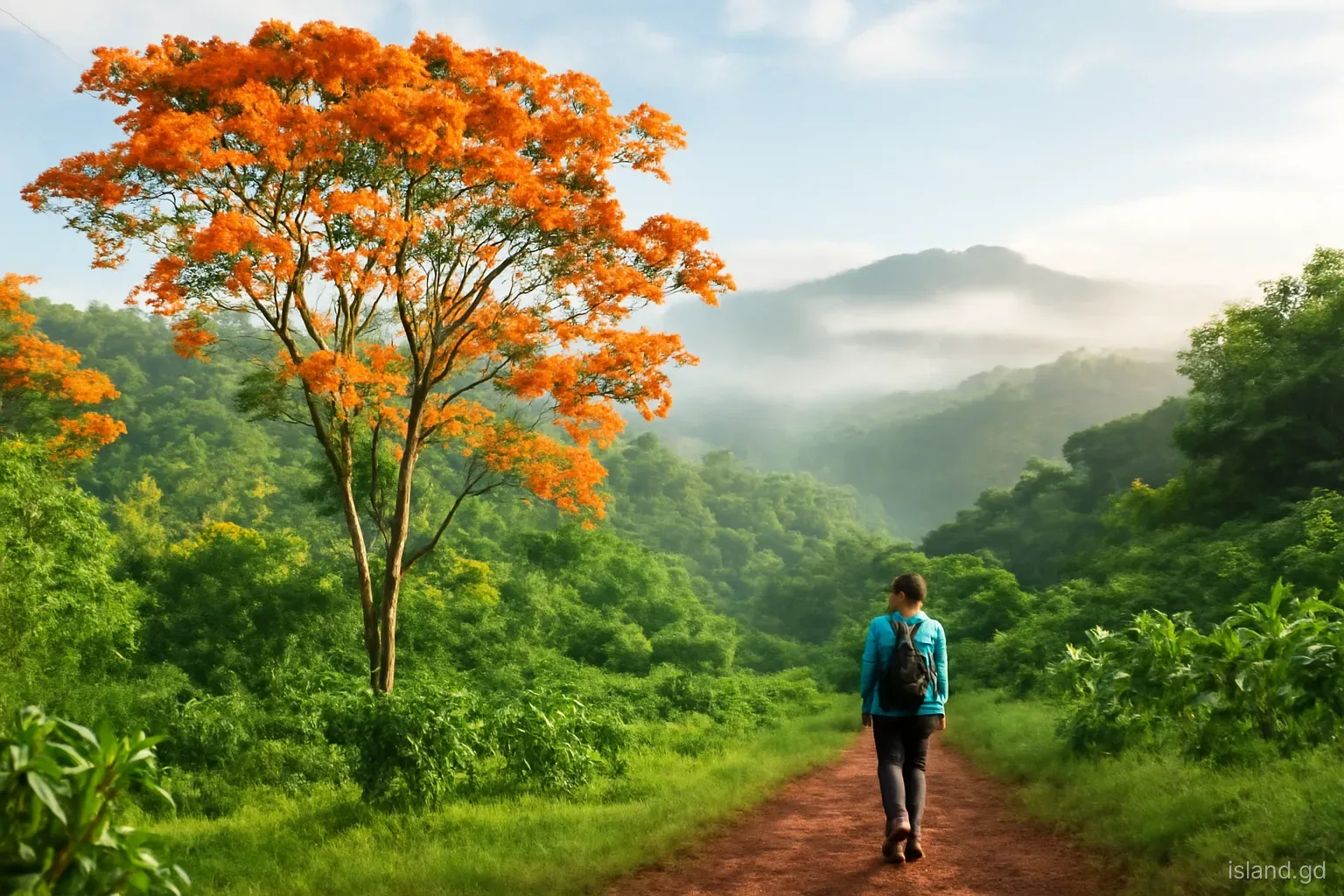
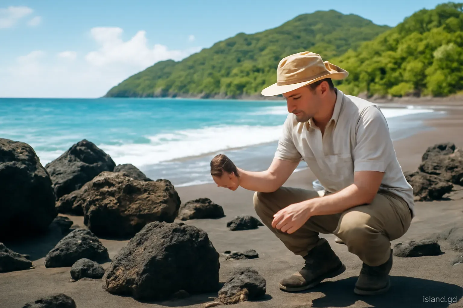
Grenada's steep green ridges, crater lakes, black-sand coves and the scatter of small islands to the north are all products of one geological process playing out over millions of years. The island sits near the southern end of the Lesser Antilles, a curving chain of volcanic islands that runs from near the Virgin Islands down to Grenada, and its landscape is the result of volcanoes building land, weather tearing it down and the sea reshaping the edges.
This explainer sets out, in plain language, how that happened: why there are volcanoes here at all, how the main island was built, what Grand Etang and Lake Antoine reveal, why Carriacou and Petite Martinique look so different, and where to see the evidence on the ground. It aims to be accurate rather than exhaustive; for detailed research, the University of the West Indies and published geological surveys of Grenada are the places to go.
Why there are volcanoes here: the Lesser Antilles arc
The eastern Caribbean sits on the edge of the Caribbean tectonic plate. To the east, the floor of the Atlantic Ocean, which belongs to the North and South American plates, is moving slowly westward and diving beneath the Caribbean plate along a boundary known as a subduction zone. As the ocean floor sinks into the mantle, it carries water-rich minerals down with it. At depth, the water is released, lowering the melting point of the surrounding hot rock and generating magma.
That magma rises, and where it reaches the surface it builds volcanoes, forming a chain that curves parallel to the plate boundary: the Lesser Antilles volcanic arc. Montserrat's Soufriere Hills, La Soufriere on St Vincent and Mount Pelee on Martinique are among its best-known volcanoes. Grenada lies near the southern end of this arc, and Kick 'em Jenny, just north of the island, is its southernmost active volcano. The process is ongoing, which is why the region has volcanic eruptions and earthquakes, though Grenada's land volcanoes have been quiet throughout recorded history.
Building the main island
Mainland Grenada was built by multiple volcanic centres over a long period, rather than by a single volcano. Lava flows, explosive deposits and volcanic debris piled up in overlapping layers. Mount St Catherine, in the north of the island, is the highest peak at about 840 metres and the best-preserved volcanic centre, a stratovolcano that is generally regarded as the youngest of the island's major volcanoes. Further south, the central mountains around Grand Etang and Mount Qua Qua and the older South East Mountain area are the eroded remains of other centres.
Grenada's volcanic rocks have attracted particular interest from geologists. Among them are unusually magnesium-rich basalts known as picrites, which are thought to preserve information about magma that rose from deep in the mantle with relatively little change. They have helped scientists understand how magma forms beneath island arcs. The island's rocks also show a wide range of compositions, from dark, fluid basalts to more viscous lavas, reflecting the complex way magma evolves on its journey to the surface.
Craters, lakes and explosion pits
Grand Etang. The lake in the central mountains occupies a crater in one of the old volcanic centres, at about 530 metres above sea level. Rainfall, which is high in the interior, keeps it filled.
Lake Antoine. In the north-east, Lake Antoine is a low-lying crater, usually described as a maar, created when rising magma met groundwater and triggered steam-driven explosions that blasted out a shallow pit.
Other craters and depressions. Geologists have identified additional crater-like features and explosion pits across the island, some filled with water or sediment, others reshaped by erosion and agriculture so they are hard to recognise today.
Hot springs. Warm, mineral-rich springs, such as those long known at Clabony in St Andrew, show that heat still lingers in the rocks at depth, although there is no sign of renewed volcanic activity on land.
Volcanic soils. The weathering of volcanic rock produced fertile soils that support Grenada's nutmeg, cocoa and fruit, and helped shape its agricultural history.
Carriacou and Petite Martinique: older, lower, different
Cross to Carriacou and the landscape changes. The island is lower and drier, with rounded hills, wide bays and much less forest than mainland Grenada. Its geology is older and more varied. Carriacou contains volcanic rocks from an earlier period of activity, alongside sedimentary rocks such as limestones and marls that formed under the sea and were later uplifted. Some of these sediments contain marine fossils, which make Carriacou of interest to palaeontologists and show that parts of the island once lay beneath the sea.
Petite Martinique is essentially a single steep hill rising from the sea, with a steep central peak and a narrow coastal fringe where the community lives. Carriacou, Petite Martinique and the islands of the Grenadines all sit on a shallow submarine platform, usually called the Grenada Bank by geologists, which is why the waters between them are relatively shallow and dotted with reefs, cays and sandbars such as Sandy Island. This platform was exposed as dry land during the ice ages, when sea levels were much lower, and the present islands are the higher ground left above water as seas rose.
Earthquakes: the other sign of a living plate boundary
The same subduction that feeds the volcanoes also produces earthquakes. Grenada and the Grenadines feel tremors from time to time, most of them small and noticed by few people, some strong enough to rattle windows and wake people at night. Most originate along the plate boundary to the east or at depth beneath the islands; others are linked to activity at Kick 'em Jenny. The Seismic Research Centre records and publishes these events across the region.
Large, damaging earthquakes are rare in Grenada's recorded history, but the region has experienced them, and building practices and disaster planning take the risk into account. For residents and visitors, the standard advice applies: during shaking, drop, take cover under sturdy furniture and hold on, keeping away from glass; afterwards, check for damage and follow NaDMA guidance. On the coast, a strong or long earthquake is a natural warning to move to higher ground in case of a tsunami, without waiting for an official alert.
Weather, erosion and the sea
Volcanoes built Grenada's mountains, but rain, rivers and waves shaped them into the landscape seen today. Heavy rainfall in the interior, driven by the trade winds rising over the mountains, has cut deep valleys into the volcanic rock. Rivers tumble over hard lava layers to form waterfalls such as Annandale, Concord and the Seven Sisters, and carry sediment down to the coast. Landslides on steep slopes, particularly during intense rain, continue to reshape the hills and occasionally block roads.
At the coast, waves erode cliffs and headlands and sort sediment into beaches. Where the sediment comes mainly from volcanic rock, beaches are dark, as at Black Bay on the west coast in St John; where it comes from coral and shells, they are pale, like Grand Anse and Carriacou's Paradise Beach. Coral reefs, built by living organisms in warm, shallow water, have added another layer to the islands' story, protecting coasts, building sand and creating the shallow banks around Carriacou.
Where to see Grenada's geology for yourself
A geology-minded visitor can read the island's history in a handful of accessible places. A local guide adds a great deal:
- Grand Etang Lake and visitor centre for a crater lake in the central mountains, set within montane rainforest.
- Lake Antoine in St Patrick for a low-lying explosion crater surrounded by farmland.
- Views of Mount St Catherine from the roads of the north and west, or a guided climb, for the island's youngest major volcano.
- Black Bay and other dark-sand coves on the west coast for beaches made from eroded volcanic rock.
- Roadside cuttings on mountain roads, where layers of lava, ash and weathered soil are exposed. Look, but never stop on a blind bend.
- Carriacou's coasts and hills for older volcanic rocks, uplifted sediments and the shallow banks of the Grenadines.
Frequently asked questions
Is Grenada a volcanic island?
Yes. Grenada was built by several volcanic centres as part of the Lesser Antilles volcanic arc, formed where the Atlantic sea floor slides beneath the Caribbean plate. No eruption on Grenada's land surface has been recorded in human history, but the submarine volcano Kick 'em Jenny, just to the north, remains active.
What is the highest point in Grenada?
Mount St Catherine, in the north of the island, is Grenada's highest peak at about 840 metres. It is an old stratovolcano, generally considered the youngest of the main volcanic centres on the island, and its summit is often covered in cloud and elfin woodland.
Are there active volcanoes in Grenada?
There are no active volcanoes on Grenada's land surface. The active volcano in Grenada's territory is Kick 'em Jenny, a submarine volcano about 8 kilometres north of the main island. It is monitored by the University of the West Indies Seismic Research Centre with Grenada's NaDMA.
Why are some beaches in Grenada black?
Dark-sand beaches form where the sand comes mainly from eroded volcanic rock, which is rich in dark minerals. Pale beaches like Grand Anse come mainly from broken coral and shells. Black Bay on the west coast is a well-known example of a dark-sand beach.
Is Carriacou volcanic too?
Partly. Carriacou contains older volcanic rocks, but it also has sedimentary rocks such as limestones formed under the sea and later uplifted, some containing marine fossils. That mixed history, and its lower relief, explain why it looks so different from the steep, forested main island.