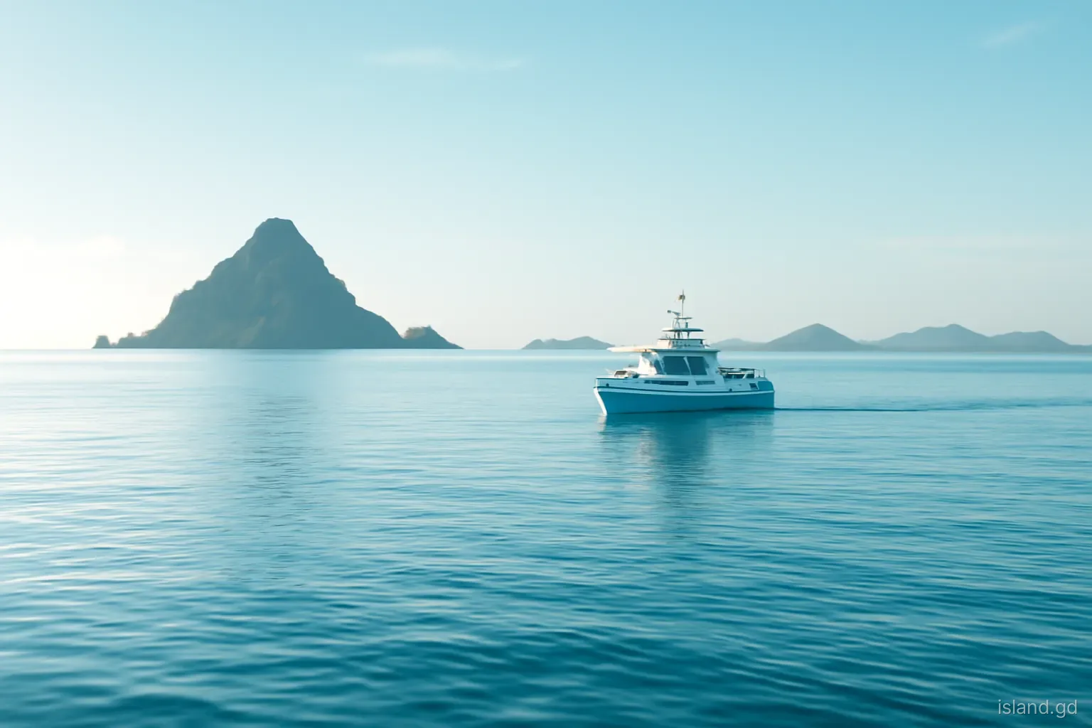
Kick 'em Jenny is the most active volcano in the southern Caribbean, and almost nobody has seen it. It lies entirely underwater, about 8 kilometres north of Grenada's northern coast and west of Ronde Island, in the channel that ferries and yachts cross on the way to Carriacou. Its summit sits well below the surface, so on most days there is nothing to see but open sea. Yet it has erupted many times since the first recorded event in 1939, and it is watched around the clock.
For anyone travelling between Grenada and Carriacou, Kick 'em Jenny is a practical matter as well as a scientific curiosity. When its alert level rises, maritime exclusion zones come into force and boats must change course. This explainer covers where the volcano is, what is known about its eruptions, how it is monitored, what the alert levels mean and what the real risks are, without either downplaying the hazard or exaggerating it.
What and where Kick 'em Jenny is
Kick 'em Jenny is a submarine volcano, a cone built up from the sea floor by repeated eruptions. It rises well over a kilometre from the deep sea bed, but its summit remains underwater, in recent surveys at a depth of roughly 180 metres. It lies within the Lesser Antilles volcanic arc, the chain of volcanoes formed as the Atlantic sea floor slides beneath the Caribbean plate, and it is the southernmost active volcano in that arc.
The volcano sits north of Grenada and west of Ronde Island, one of the small islets between Grenada and Carriacou. The origin of its unusual name is uncertain. Explanations offered over the years include a corruption of a French or Creole phrase and a sailors' nickname for the rough, confused seas in the channel, which can 'kick' boats about. None is proven. What matters for travellers is that the main routes between Grenada and Carriacou pass within a few kilometres of the volcano, which is why its status is relevant to ferries, fishing boats and yachts.
A record of eruptions
Kick 'em Jenny first came to wide attention in July 1939, when an eruption sent a cloud of steam and debris high above the sea surface, witnessed by people on the north coast of Grenada and in Carriacou. Since then, scientists have recorded many further eruptions, at intervals ranging from months to more than a decade. Most did not break the surface. They were detected through earthquakes registered by seismic instruments, through changes in the shape of the summit measured by repeated surveys, through rumbling heard by divers or fishermen, and through discoloured water or bubbling at the surface.
Notable episodes in recent decades include an eruption in 2001 and activity in July 2015 and April 2017, when the alert level was raised and exclusion zones were enforced. Surveys between eruptions have shown that the shape and depth of the summit change, with material being added during eruptions and lost through collapses. Because the volcano is underwater, eruptions usually create no ash fall on land, and since 1939 none has produced a large column visible from the islands. However, the possibility of a more explosive event, particularly if the summit grows closer to the surface, is why monitoring continues.
How the volcano is monitored
The Seismic Research Centre. Kick 'em Jenny is monitored by the University of the West Indies Seismic Research Centre, based in Trinidad, which also monitors volcanoes and earthquakes across much of the English-speaking eastern Caribbean.
Grenada's disaster agency. The National Disaster Management Agency (NaDMA) in Grenada works with the Seismic Research Centre, issues alert-level announcements to the public and coordinates with the coastguard and port authorities when exclusion zones are needed.
Seismic stations. A network of seismometers on Grenada, Carriacou and nearby islands records earthquakes. Swarms of small earthquakes beneath the volcano are often the first sign of renewed activity.
Sea-floor surveys. Periodic surveys using sonar and other techniques map the summit's shape and depth, tracking how the volcano grows or collapses between eruptions.
Observation reports. Reports from fishermen, divers, ferry crews and coastguard patrols of bubbling, discoloured water, unusual sounds or dead fish help scientists confirm what instruments detect.
Alert levels and exclusion zones
Grenada uses a colour-coded alert system for Kick 'em Jenny, with levels set by the scientists and announced by NaDMA. The system has been revised over time, so check the current definitions, but its broad structure is:
- Green: the volcano is quiet, at its normal background level. There are no special restrictions, although boats are generally advised to keep a respectful distance from the summit at all times.
- Yellow: activity is above background, for example increased seismic activity. A maritime exclusion zone, usually around 1.5 kilometres from the summit, is put in place, and all vessels must stay outside it. Yellow has been the normal level for long periods in the past.
- Orange: an eruption is possible with little warning or is under way. The exclusion zone is extended, typically to around 5 kilometres, which affects routes between Grenada and Carriacou; ferries and other boats re-route around the zone.
- Red: a major eruption is in progress or imminent. Wider restrictions and other emergency measures may follow, as directed by NaDMA and the authorities.
What the risks really are
The most immediate risk from Kick 'em Jenny is to boats directly above or close to the summit. During eruptions, gas bubbles released into the water can reduce its density, which in principle can reduce a vessel's buoyancy. Hot water, rising debris and turbulence add to the hazard. This is the main reason for exclusion zones, which are set conservatively to keep vessels well away from the summit area.
A second concern, more often raised in the news, is the potential for a tsunami. Scientific modelling has examined scenarios in which a large explosive eruption or a collapse of the volcano's flank displaces enough water to generate waves. Studies suggest that any such waves would mainly affect nearby coastlines, particularly in Grenada and the Grenadines, rather than causing a region-wide tsunami as was sometimes claimed in the past. Such events are considered unlikely in the near term. Practical advice is the same as for any coastal earthquake or tsunami warning: follow NaDMA instructions, and if you feel a strong earthquake near the coast, move to higher ground.
Living with a volcano next door
For people in northern Grenada, Carriacou and Petite Martinique, Kick 'em Jenny is a familiar neighbour rather than a source of daily anxiety. Fishermen from Sauteurs and the north coast work the waters around Ronde Island and the Sisters, and ferry crews cross the channel several times a week. When the alert level changes, news spreads quickly through radio, social media and word of mouth, and the coastguard enforces exclusion zones on the water.
NaDMA runs public education on volcanic and tsunami hazards, and coastal communities have taken part in evacuation exercises and awareness campaigns over the years. For visitors staying on the north coast or on Carriacou, the practical steps are simple: know that the volcano exists, note any announcements about alert levels, follow official instructions if they are issued, and be aware of the natural warning signs of a tsunami, such as a strong earthquake or a sudden, unusual retreat of the sea. Panic is not warranted; awareness is.
What travellers and skippers should do
Check the alert level before crossing. Before travelling between Grenada and Carriacou by boat, check the current status through NaDMA announcements, local news or the Seismic Research Centre. Ferry operators will know, but private skippers must check for themselves.
Respect exclusion zones on any chart plotter. Mark the summit position and the current exclusion radius. Do not cut corners on passages between Grenada and Carriacou, even if the volcano appears quiet.
Expect detours. At orange level, ferries and yachts take longer routes around the zone, adding time to the crossing. Build this into plans.
Keep updates coming. Alert levels can change quickly during periods of unrest. Monitor the radio and announcements while under way.
Do not chase phenomena. Discoloured water or bubbling is a reason to leave the area, not to investigate it. Report sightings to the coastguard or authorities.
Frequently asked questions
Where exactly is Kick 'em Jenny?
Kick 'em Jenny is a submarine volcano about 8 kilometres north of Grenada's northern coast and west of Ronde Island, in the channel between Grenada and Carriacou. Its summit lies underwater, roughly 180 metres deep in recent surveys, so there is usually nothing to see at the surface.
Is Kick 'em Jenny dangerous for ferries to Carriacou?
In its usual quiet state, the volcano poses little risk to ferries that stay outside the exclusion zone. When the alert level rises, exclusion zones expand and ferries re-route around them, which may add time. Operators follow NaDMA guidance, and crossings may be adjusted or delayed during unrest.
When did Kick 'em Jenny last erupt?
Kick 'em Jenny has erupted many times since its first recorded eruption in 1939, with recent episodes including 2001, 2015 and 2017. Many eruptions occur without any visible sign at the surface. For the latest activity, check the University of the West Indies Seismic Research Centre or NaDMA.
Could Kick 'em Jenny cause a tsunami?
Scientists have studied tsunami scenarios linked to a large eruption or flank collapse. Current research suggests any waves would mainly affect nearby coasts in Grenada and the Grenadines and that such events are unlikely in the near term. Follow official guidance and move to higher ground after a strong coastal earthquake.
Can you dive at Kick 'em Jenny?
Recreational diving over the summit is not practical, as it lies far below safe recreational depths and in an area of strong currents and possible gas emissions. Divers do explore nearby sites such as Ronde Island and the Sisters with specialist operators, but always outside any exclusion zone in force.