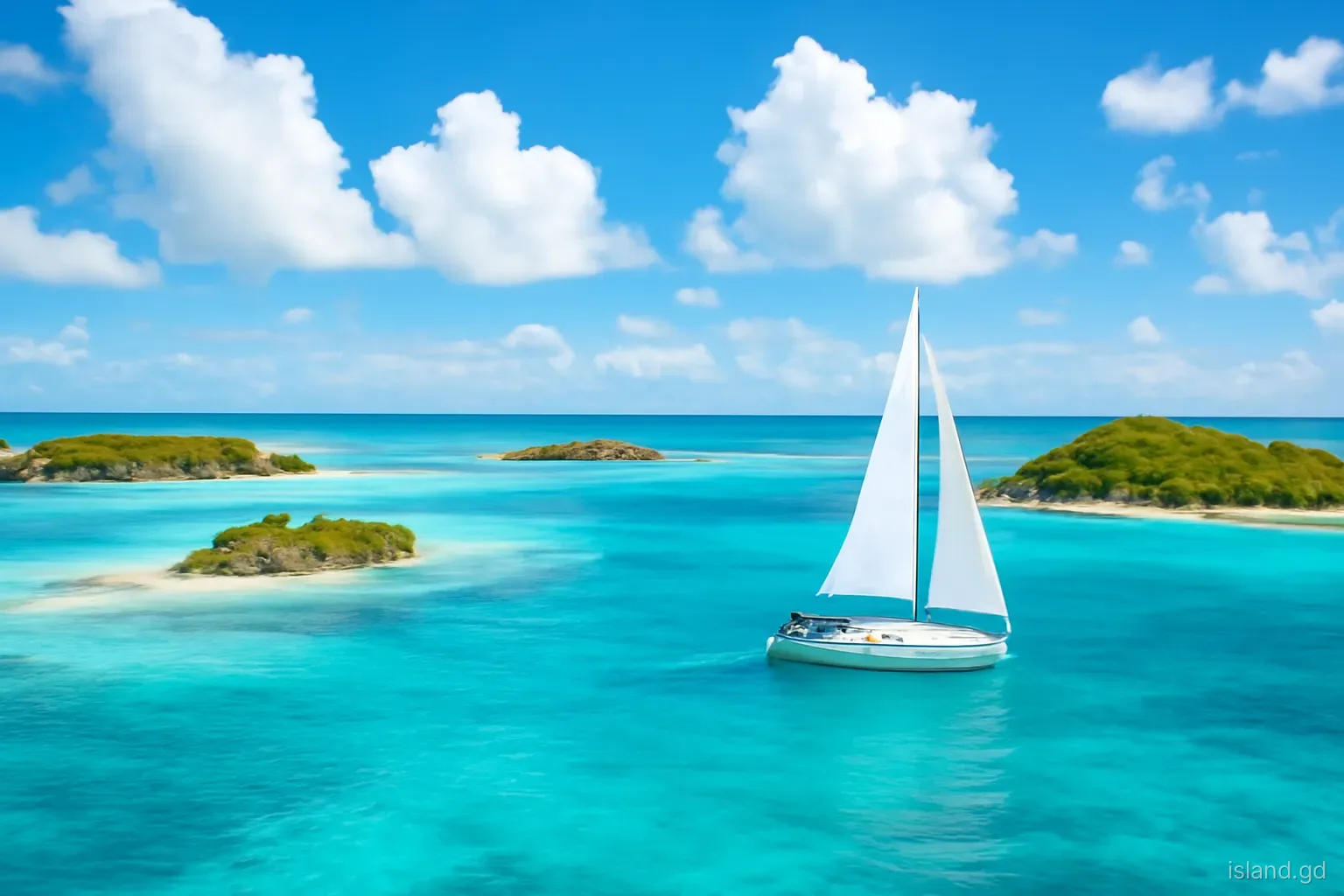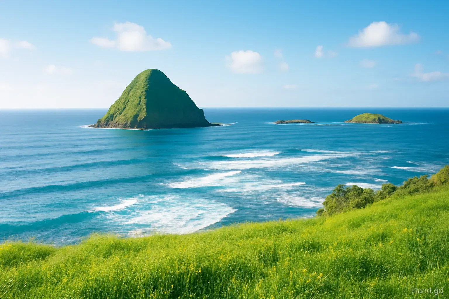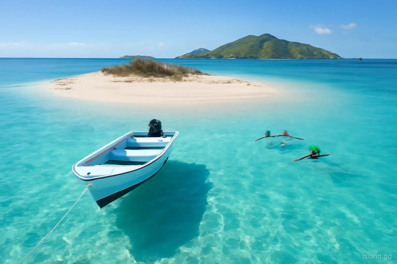
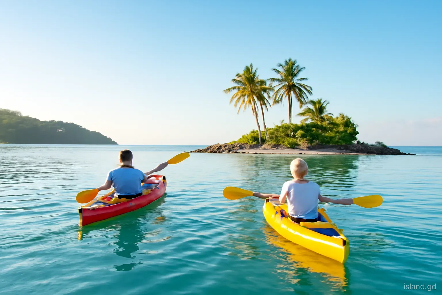
Grenada's south coast does not run in a straight line. East of Point Salines it breaks into a ragged series of headlands, inlets and bays, and offshore a handful of small islands sit in the shallow water between the reefs and the shore. Hog Island is the best known, but it is far from the only one, and each of the others has its own story.
Calivigny Island is a private luxury retreat. Glover Island, small and uninhabited, was once the site of a whaling station. Around them lie rocks, reefs and bays that shelter boats, fish and mangroves, and that give the south coast its distinctive look from the air.
This article explains how the south coast came to look the way it does, profiles its islets and suggests how to see them without trespassing or damaging fragile habitats. Ownership and access can change, so treat specifics as something to confirm locally.
Why the south coast looks the way it does
The south coast's shape reflects its geological past and the action of the sea. Long ridges run down towards the coast, separated by valleys. Over thousands of years, as sea levels rose after the last ice age, the lower parts of those valleys flooded, creating the deep, narrow bays that now shelter yachts, while the ridges became peninsulas such as Lance aux Epines, Egmont and Calivigny.
Offshore, coral reefs grew on the shallow shelf, and in places small hills of rock were cut off from the mainland, becoming islets. Sediment carried by streams settled in the sheltered bays, where mangroves took hold. The result is a coastline that combines open sea, reef-protected lagoons, mangrove-fringed inlets and small islands within a short distance.
This geography explains much of the south coast's modern character. The sheltered bays made it a centre for marinas and boatyards, the peninsulas attracted villas and resorts, and the islets became private retreats, anchorages or quiet places largely left to nature. It also makes the coast sensitive: development, dredging and pollution in one bay can affect reefs and mangroves well beyond it.
For anyone exploring by boat or kayak, the practical lesson from this geography is timing. Mornings are usually calmer, before the trade winds strengthen, while reefs are easiest to read from late morning, when the sun is high and the coral heads show as dark patches against the sand. By mid-afternoon the wind often funnels down the bays and a paddle that was easy on the way out becomes hard work on the way back.
Calivigny Island
Location. Calivigny Island lies off the south coast near the Calivigny peninsula, close to the entrance of the bays around Woburn and Clarkes Court. It is visible from the roads through Woburn and from the water.
What it is. The island is privately owned and has been developed as an exclusive retreat, typically rented as a whole for groups and events. It is not a place where visitors can simply land, walk around or use the beach without being guests.
Seeing it. Most people experience Calivigny Island from a distance, from a boat trip along the coast, while sailing between the south coast bays, or from viewpoints on the mainland. Approaching too closely or landing uninvited is not appropriate.
Its significance. Calivigny Island illustrates a pattern found across the Caribbean, in which small islands become private resorts. That brings investment and employment, but also raises questions about public access to coasts, which Grenadians often feel strongly about.
Glover Island and its whaling past
Glover Island is a small, low, uninhabited island off the south coast. It is easy to overlook, but it has an unusual place in Grenada's history: in the early twentieth century it was the site of a shore whaling station, generally described as having been operated with Norwegian involvement, where whales caught in the surrounding waters were processed. The operation was short-lived, and only traces remain.
Whaling has a longer history in the wider region, particularly in the Grenadines to the north, where small-scale traditional hunting persisted on Bequia in St Vincent and the Grenadines. In Grenada, the Glover Island station belongs to a brief commercial chapter that ended long ago. Today, whales and dolphins in Grenadian waters are more likely to be the subject of watching trips than hunting.
The island itself has no facilities and is not a regular stop for visitors. It is best appreciated from the water, ideally with a knowledgeable local skipper who can point out its location and history. Mariners use it as a landmark along the south coast, and its surrounding shallows and reefs demand careful navigation.
The rocks, reefs and smaller islets
Between the larger islands lie numerous rocks, small islets and reef patches, some named on nautical charts and in local usage, others barely noticed except by fishers and sailors. They break the swell, shelter small boats and provide habitat for seabirds and marine life.
The reefs off the south coast are an important part of Grenada's marine environment. They protect the shoreline and bays from erosion and storm waves, support fisheries and attract snorkellers and divers. They are also vulnerable to warming seas, coral bleaching, sediment from land and damage from anchors and careless visitors.
The mangroves in the inner bays, including around Woburn and Clarkes Court, work alongside the reefs. They filter runoff, trap sediment and provide nurseries for young fish. The designation of a marine protected area in the Woburn and Clarkes Court bays reflects this connection between land, mangrove, seagrass and reef.
How to see the south coast islets well
The south coast islets are best seen from the water, but on terms that respect private property and fragile habitats. A sensible approach:
- Book a coastal boat tour or sunset sail from one of the south coast marinas or from the Grand Anse area, and ask in advance whether the route passes Calivigny, Glover and Hog Islands.
- If you are confident on the water, consider a guided kayak or paddleboard trip in the sheltered bays, where you can see mangroves and islets up close in calm conditions.
- If sailing your own boat, use current cruising guides and charts, navigate in good light and treat all reefs and shoals with caution.
- Do not land on private islands such as Calivigny without permission, and respect any notices or instructions on other islets.
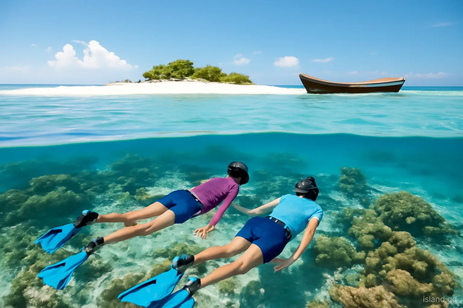
- Snorkel only in calm conditions, away from boat traffic, and without touching coral or standing on the seabed.
- Take all rubbish back with you, and avoid disturbing nesting birds on rocks and islets.
Some of the smaller rocks are important roosting and nesting places for seabirds, including terns, pelicans and frigatebirds, which find little disturbance there compared with the busy mainland shore. Watching them from a respectful distance, without landing, is one of the quieter pleasures of a trip along this coast, and costs the birds nothing.
Mistakes to avoid
The most common mistake is assuming that every island or beach is open to the public. In Grenada, beaches are generally public up to the high-water mark, but private islands and land behind the beach may not be. On a private island such as Calivigny, uninvited landing is unwelcome and may be treated as trespass.
Another is underestimating conditions outside the sheltered bays. The water inside the reefs can be calm while the sea just beyond is rough, with swell, wind and currents that can overwhelm a small boat, kayak or swimmer. Stay within your abilities and take local advice.
Finally, do not forget that these waters are working waters. Fishers set pots and nets, boats move between marinas and yachts are anchored throughout the bays. Watch for floats and lines, give way to working boats and keep noise down near anchored yachts and homes along the shore.
Frequently asked questions
Can you visit Calivigny Island?
Calivigny Island is privately owned and operates as an exclusive retreat, usually rented as a whole. Visitors who are not guests should not land. You can see it from boat trips along the south coast or from mainland viewpoints around Woburn.
What is Glover Island known for?
Glover Island, a small uninhabited island off the south coast, was the site of a short-lived shore whaling station in the early twentieth century. Little remains today, and the island has no facilities, so it is usually viewed from the water.
Are there islands to explore off Grenada's south coast?
Yes, though several are private or have no facilities. Hog Island, Calivigny Island and Glover Island are the best known, along with smaller rocks and reefs. Boat tours, sailing trips and guided kayak outings are the best ways to see them.
Is it safe to kayak around Grenada's south coast bays?
The inner bays are often calm and suitable for kayaking in good weather, ideally with a guide. Conditions change quickly beyond the reefs, where swell and wind can be strong. Stay inside sheltered water unless you are experienced and well equipped.
Are Grenada's beaches public?
Beaches in Grenada are generally considered public up to the high-water mark, but land behind them and private islands may not be. Respect private property, use recognised access points and follow any instructions from staff or residents.