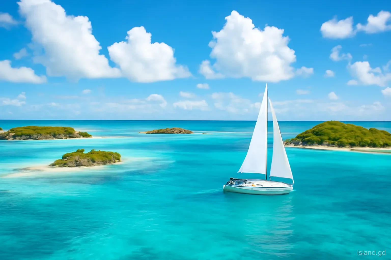
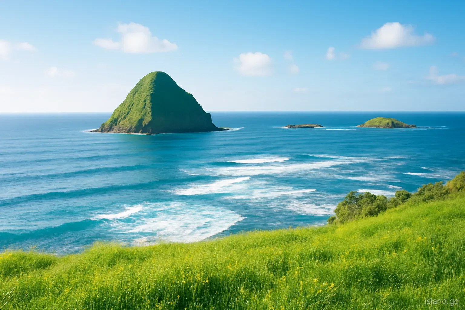
Off Grenada's north-east corner, where the Atlantic meets the beginning of the Grenadines chain, a small group of islands lies just offshore. Sugar Loaf rises steep and green opposite Levera Beach; further out are Green Island, a second Sandy Island, distinct from the famous one off Carriacou, and Bird Island. Together they form the backdrop to one of the wildest corners of the mainland.
These are not islands most visitors land on. They are exposed to Atlantic swell, have few or no facilities, and some are important refuges for seabirds. But they shape the landscape of the north-east, shelter parts of the coast and add to the richness of an area already known for its national park, turtle nesting beaches and wetlands.
This article profiles the north-east islets, explains their place in the landscape and suggests how to appreciate them, mostly from the shore or from the water with an experienced local skipper.
Where the islands sit
Grenada's north-east coast, in the parish of St Patrick, faces the Atlantic. The land here is lower and drier than the mountainous interior, with rolling hills, farmland, mangroves and long beaches. At the very corner lies Levera, with its beach, pond and the protected area of Levera National Park.
Just off Levera Beach rises Sugar Loaf, also called Levera Island, a steep, rounded islet whose shape gives it its name. Beyond it, further offshore, lie Green Island and Sandy Island, low and wooded or scrubby, and further still other rocks and islets including Bird Island. From the headlands around Levera and Bathway, they are visible on most days, with the Grenadines chain stretching away to the north on clear ones.
The islands are part of the transition between Grenada's main island and the Grenadines. To the north, across open water, lie Isle de Ronde, Caille and eventually Carriacou. To the east there is nothing but ocean, which is why swell, wind and current define conditions here.
The islands one by one
Sugar Loaf (Levera Island). The closest and most prominent, a steep green hump just off Levera Beach. The channel between the beach and the island can have strong currents, and swimming across is dangerous. Land on the island may be private, so do not assume access.
Green Island. Further offshore, a low island with vegetation that justifies its name. It has sandy shores in places and surrounding reef, and is occasionally visited by boat in calm weather.
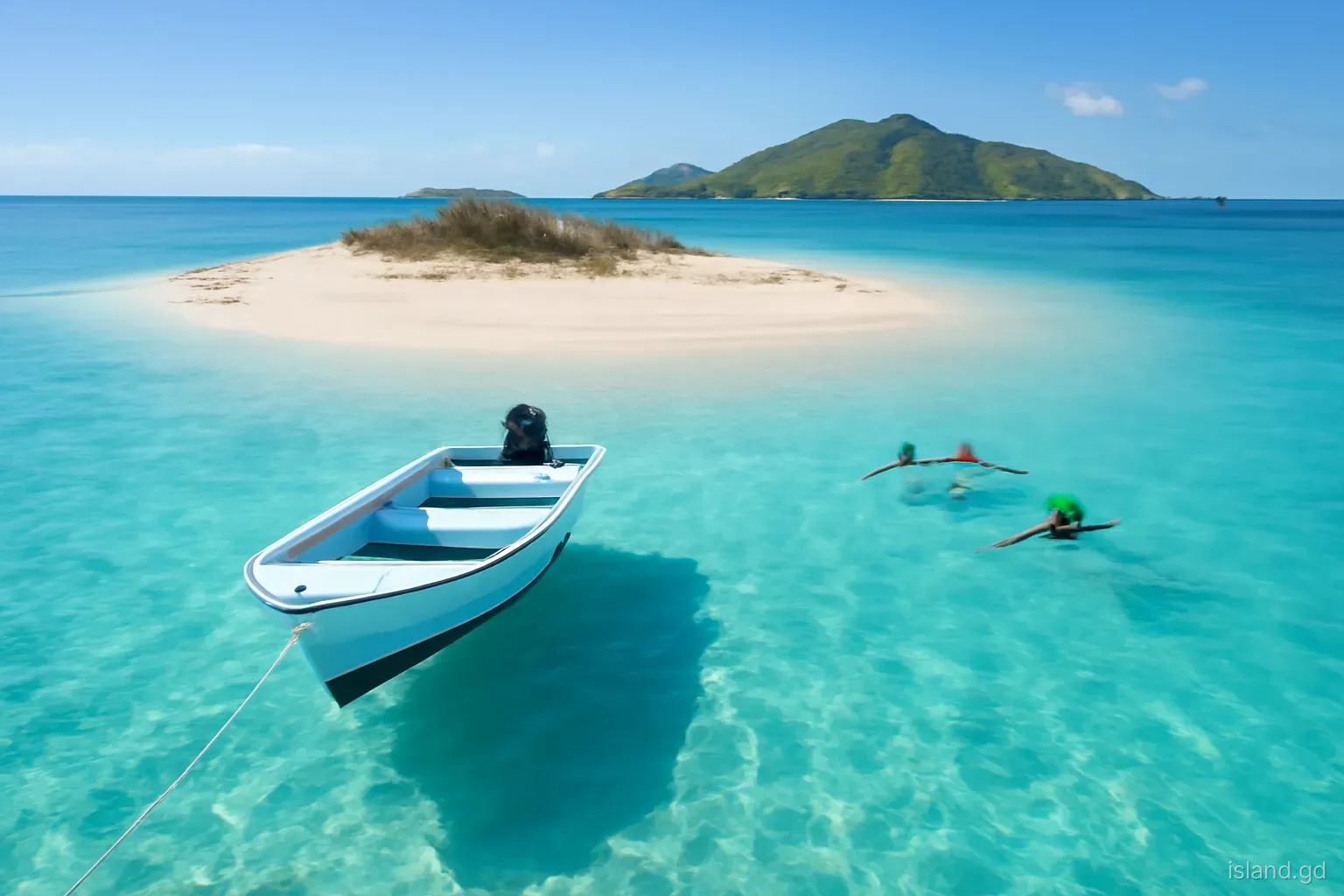
Sandy Island. Not to be confused with Sandy Island off Carriacou, this is a smaller island off the north-east coast with sandy beaches and nearby reefs. It sees few visitors and has no facilities.
Bird Island. As the name suggests, a refuge for seabirds. Rocky and exposed, it is a place to observe from the water rather than land on, since disturbance can cause birds to abandon nests.
Names can confuse. Sugar Loaf is used for hills and islets in several Caribbean countries, and Sandy Island and Green Island are names repeated across the region. When reading about these islands or booking a trip, check that the description refers to Grenada's north-east coast and not to Carriacou or another island altogether.
Wildlife: seabirds, turtles and reefs
The north-east islets are among the best places in mainland Grenada to see seabirds. Brown boobies, frigatebirds, terns and other species roost and nest on the more remote islands and rocks, where they are less disturbed by people and predators. Watching them from a boat or through binoculars from the shore is the most responsible way to enjoy them.
On the mainland, Levera Beach is one of Grenada's important nesting sites for leatherback turtles, the largest of the sea turtles, which come ashore at night mainly between about March and August. Other species, such as hawksbills, also nest in the area. Turtle watching is managed by local conservation groups, which run guided night walks in season to protect both turtles and visitors.
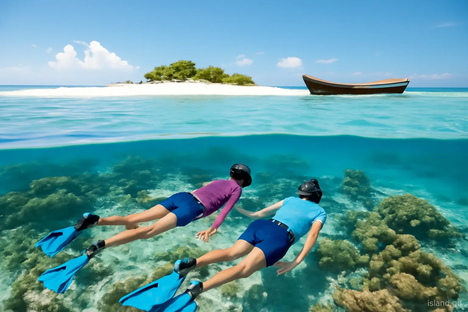
Underwater, reefs fringe parts of the islands and the coast, though Atlantic swell limits diving and snorkelling to calm days. Seagrass and mangroves in Levera Pond and nearby areas support young fish, crabs and birds. The combination of islets, reefs, beaches, mangroves and wetland makes the north-east one of Grenada's most ecologically varied corners.
Seeing them from the shore
For most people, the islands are a view rather than a destination. Levera Beach, reached by a rough road through the national park area, offers the closest view of Sugar Loaf, with Green Island and Sandy Island beyond. Bathway Beach, a little to the south, has views out over the reef towards the islands too.
Higher ground offers the best panorama. Headlands and hills around Levera and the north coast look out over the islands and, on clear days, the long line of the Grenadines. Early morning and late afternoon light bring out the colours of the sea and the shapes of the islands, and the trade winds keep the air fresh.
Remember that this is an exposed, rugged coast. Swimming at Levera Beach and along much of the north-east coast is dangerous because of currents and surf, especially in the channel towards Sugar Loaf. Enjoy the view from the sand, and swim only where locals confirm it is safe, such as inside the reef at Bathway on calm days.
Visiting by boat: what to know
Occasional boat trips visit the north-east islets, usually with fishers or operators from nearby communities such as River Sallee or Sauteurs. If you plan one:
- Go only in calm conditions. Atlantic swell and currents make these waters dangerous in strong trade winds. A good skipper will cancel if conditions are poor.
- Choose an experienced local operator. Reefs, currents and landing points require intimate local knowledge. Ask about life jackets and safety equipment.
- Ask before landing. Some islands or parts of them may be private, and others are wildlife refuges where landing is inappropriate.
- Keep away from seabird colonies. Stay at a distance, keep noise down and never approach nests.
- Bring everything you need. Water, sun protection and food, since there are no facilities on any of the islands.
- Leave no trace. Take all rubbish back, and do not collect shells, coral or anything else from the islands or reefs.
If you plan to drive to Levera, ask locally about the state of the track before setting off, as it can be rough or muddy after heavy rain. Take water and sun protection, tell someone where you are going if you are heading to the more remote headlands, and do not leave valuables visible in a parked car. Evenings in turtle season bring their own rules: no lights on the beach and no approaching turtles except with a licensed guide.
How the islands shape the coast
The islets do more than decorate the view. Sugar Loaf and the reefs around it take some of the force out of the Atlantic swell before it reaches Levera, which helps explain why the beach there has its long, sweeping shape and why the pond behind it can exist. Elsewhere on this coast, reefs and offshore rocks create calmer pockets of water inside them, such as the reef-sheltered lagoon at Bathway.
This protective role matters more as the climate changes. Rising sea levels, stronger storms and warming water that bleaches coral all threaten the natural barriers that shelter low-lying coasts. In the north-east, where beaches double as turtle nesting sites and farmland runs close to the shore, the health of the reefs and islets is linked directly to the future of the coast.
Protecting them means reducing pollution and sediment flowing off the land, avoiding damage to reefs, managing fishing sustainably and keeping development away from the most sensitive areas. Levera National Park and the conservation groups working in the area play a part, but so do farmers, fishers and visitors whose everyday choices add up.
Frequently asked questions
Where is Sugar Loaf Island in Grenada?
Sugar Loaf, also called Levera Island, lies just off Levera Beach at Grenada's north-east corner in the parish of St Patrick. It is the steep green islet visible from the beach, with Green Island and Sandy Island further offshore.
Can you swim to Sugar Loaf from Levera Beach?
No. The channel between Levera Beach and Sugar Loaf has strong currents, and swimming there is dangerous. Levera is generally not a safe swimming beach. Enjoy the view from the sand and swim only where locals confirm conditions are safe.
Is there a Sandy Island off mainland Grenada?
Yes. Besides the well-known Sandy Island off Carriacou, there is a smaller Sandy Island off Grenada's north-east coast, near Green Island and Sugar Loaf. It has no facilities and is visited only occasionally by boat.
Where can you see seabirds in Grenada?
The north-east islets, including Bird Island, Green Island and other rocks off the coast, are good places to see boobies, frigatebirds and terns. Watch from a boat or through binoculars from the shore, and keep well away from nesting sites.
When do turtles nest at Levera Beach?
Leatherback turtles nest at Levera mainly between about March and August, with hawksbills also using the area. Guided turtle-watching walks are organised by local conservation groups in season. Never approach nesting turtles without a guide or use lights on the beach.