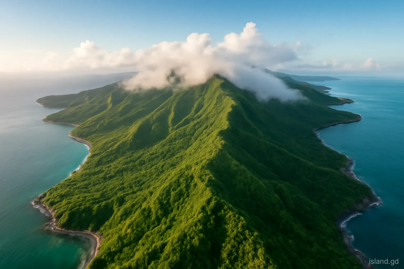
The main island of Grenada is small on paper, roughly 34 kilometres from north to south and under 20 kilometres across at its widest, yet it changes character every few kilometres. Within an hour's drive the land goes from cactus and dry scrub on the southern points to cloud forest dripping on the central ridges, and from the calm Caribbean bays of the west to the surf and fishing beaches of the Atlantic side.
Those changes are not random. They follow a simple structure: a volcanic spine of mountains running roughly north to south, trade winds arriving from the east, and a coastline cut into bays, points and river mouths. Once that structure is clear, the island reads like a series of distinct regions, each with its own weather, farming, villages and pace.
This field guide splits the main island into six working regions. They are not official divisions, and they cross parish lines, but they match how the land actually behaves.
The mountain spine that shapes everything
Grenada is the eroded remains of several old volcanic centres, and the highest ground forms a broken ridge down the middle of the island. Mount St Catherine in the north, at around 840 metres, is the highest point. Further south the ridge passes through the Grand Etang area, with its crater lake and forest reserve, before dropping towards the hills behind St George's and the low southern peninsula.
This spine does three jobs. It catches the moisture carried by the north-east trade winds, so the high interior can receive several times the rainfall of the southern coast. It feeds the short, steep rivers that run off both flanks to the sea. And it divides the island into a windward side facing the Atlantic and a leeward side facing the Caribbean Sea, a split that shows up in vegetation, beaches and even the way villages are laid out.
Almost every road crossing the island has to climb over this ridge, which is why a straight-line distance of 15 kilometres can take 40 minutes or more on the ground.
The dry south-west: Point Salines to Lance aux Épines
The south-western corner of the island, in the parish of St George, is the lowest and driest region. Point Salines, where the international airport sits, is a flat tongue of land with salt ponds, scrub and cactus, and the peninsulas to its east, including Lance aux Épines, Mount Hartman and the points around Woburn, are long fingers of low hills separated by deep, sheltered bays.
Rainfall here is a fraction of what falls in the mountains, and in the dry months the hillsides turn brown. The vegetation is dry woodland: acacia-type thorn trees, manchineel near the shore, cactus on the rocky headlands. The Mount Hartman area protects a block of this dry forest, which matters because it is habitat for the critically endangered Grenada dove.
This is also the most built-up part of the island outside St George's. Grand Anse, Morne Rouge and Lance aux Épines carry most of the hotels, the medical university at True Blue sits on its own point, and the bays shelter marinas and anchorages. It is a landscape of water views and calm seas, with very little farming.
The leeward coast: St George's north to Gouyave and Victoria
North of St George's, the Caribbean coast runs through St George, St John and St Mark. Here the mountains come almost straight down to the sea. The coast road clings to the cliffs, dips into small bays where fishing villages sit at the river mouths, and climbs out again over the next headland.
Villages such as Grand Mal, Grand Roy, Gouyave and Victoria are compact, built on the narrow flat land where a river meets the shore, with houses stacked up the slopes behind. The sea is usually calm, beaches are often dark volcanic sand, and fishing is central to life: Gouyave in particular is known as a fishing town. Inland, the valleys run back into nutmeg and cocoa land, and some of the island's best-known waterfalls, such as Concord, sit up these river valleys.
The leeward side is somewhat drier than the windward coast but far greener than the south. It feels older and more vertical than the rest of the island, with views straight down onto the water.
The far north: St Patrick's rolling farmland
St Patrick, at the northern end, is a different shape again. North of Mount St Catherine the land opens into rolling hills and plateaux, lower and gentler than the centre, with more open farmland. Sauteurs, the parish town, sits on the north coast beside the cliff known as Leapers Hill or Caribs' Leap.
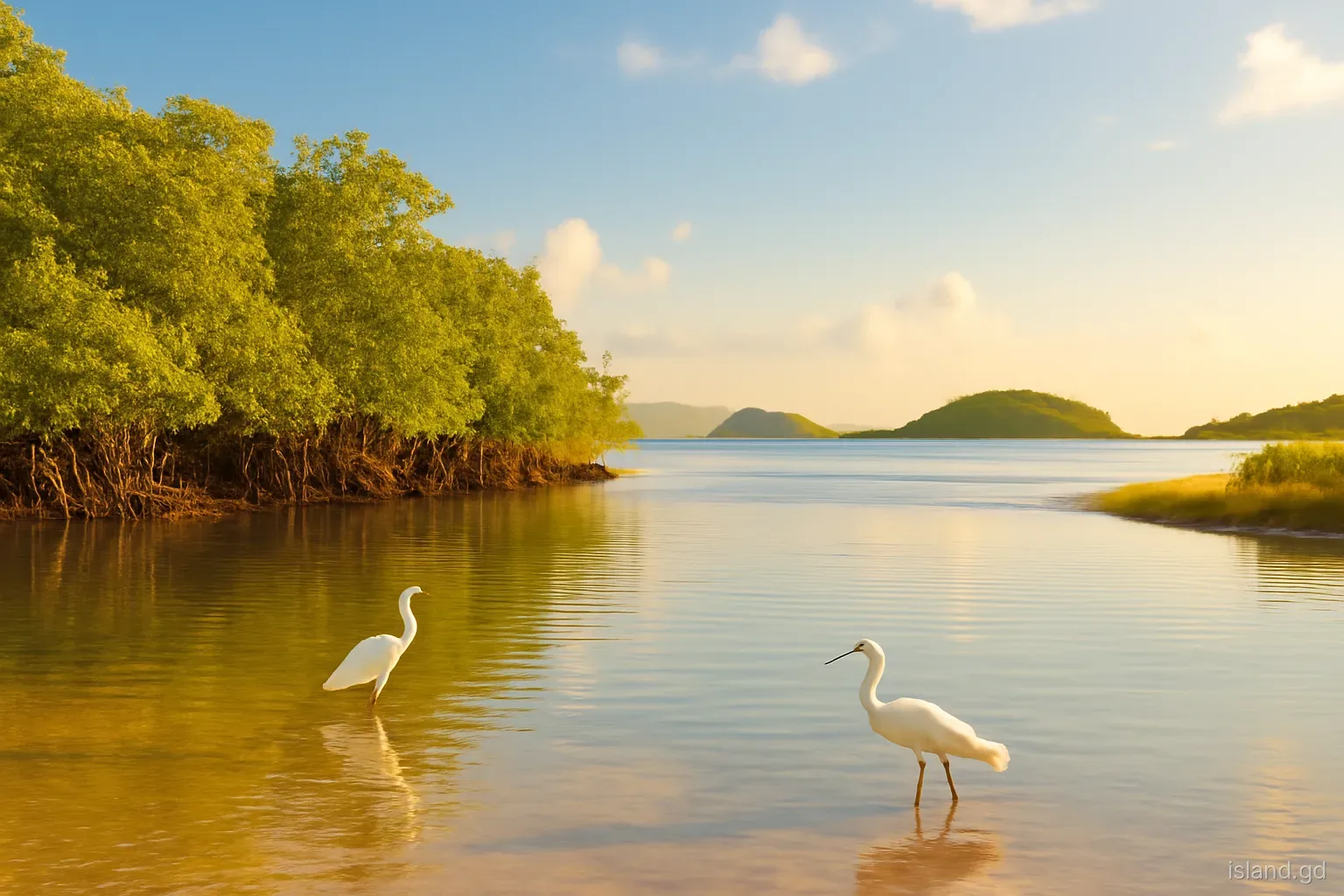
The north-east corner holds a cluster of features worth knowing as a group: Lake Antoine, a shallow crater lake; the River Antoine area with its historic water-powered rum distillery; Levera, with its pond, mangroves and long beach; and Bathway Beach with its reef-protected pool. Offshore, the islets of the northern Grenadines begin, and on clear days Carriacou is visible on the horizon.
This is cocoa, banana and mixed farming country, with fewer visitors than the south. Distances from St George's feel long because the roads wind, but the north rewards a full day rather than a rushed loop.
The windward side: St Andrew and the Atlantic coast
St Andrew is the largest parish, and its coast faces the Atlantic and the trade winds. Grenville, the island's second town, sits on Grenville Bay, and the coast north and south of it alternates between fishing beaches, river mouths, mangroves and headlands battered by swell. The old Pearls airport, closed when Point Salines opened in the 1980s, lies on the flat land north of Grenville.
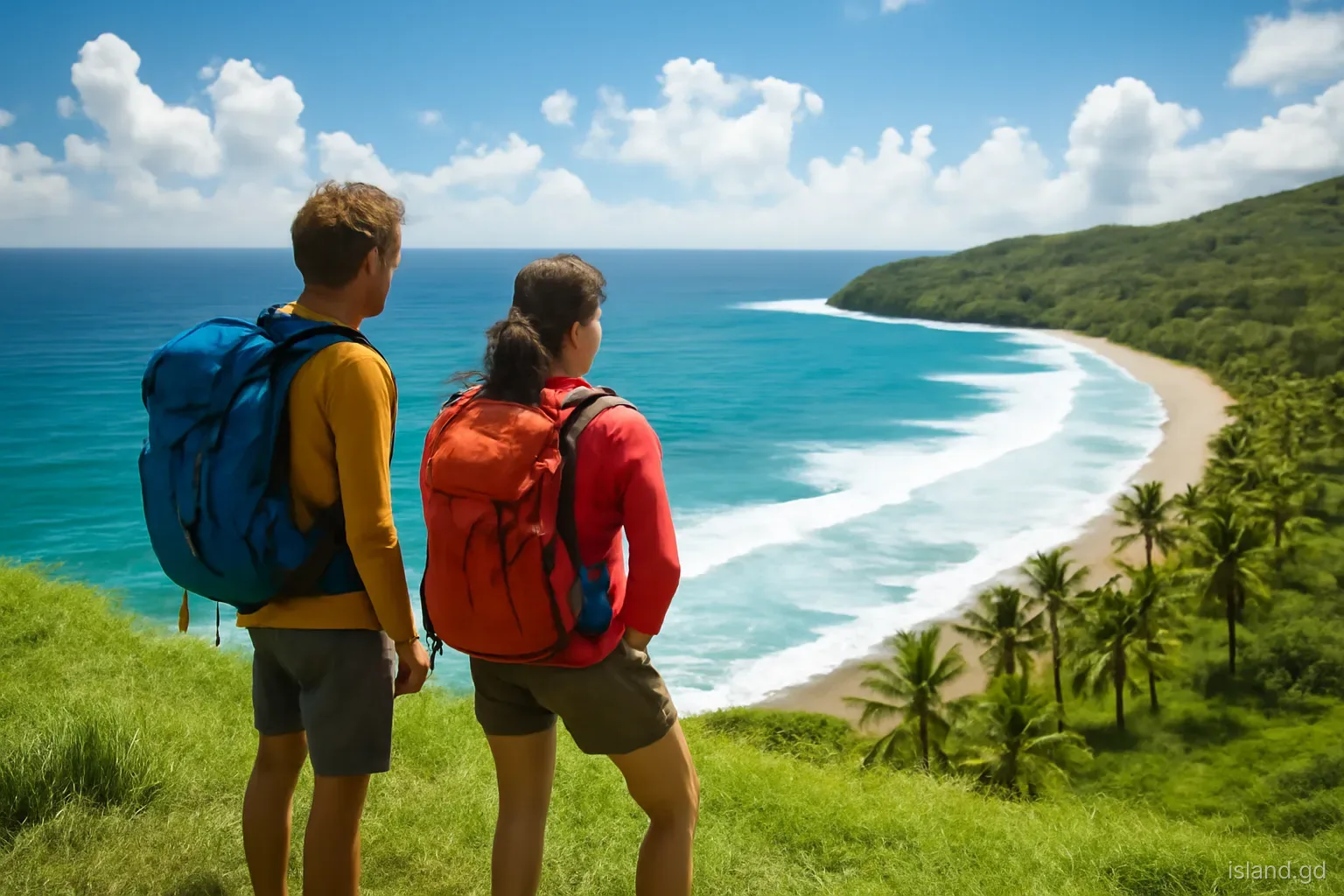
The east is wetter and lusher than the west, and its lower slopes are given to bananas, cocoa, nutmeg and ground provisions. Some of the larger rivers, including the Great River, reach the sea on this side. The sea itself is livelier: surf, currents and seasonal sargassum seaweed are part of the windward coast's character.
South of St Andrew, St David continues the pattern with a coast of deep inlets and small points, quieter and more residential than the St George's peninsulas.
How the regions connect: the roads that stitch them together
Grenada's main roads follow the landscape rather than cutting through it. A coastal road circles most of the island: up the leeward side from St George's through Gouyave and Victoria to Sauteurs, round the north-east past the Levera area, and down the windward side through Grenville and St David back to the capital. Inside that ring, a handful of cross-island roads climb over the spine, the best known being the Grand Etang road between St George's and Grenville.
Each crossing is a lesson in the regions. On the Grand Etang road the dry suburbs of St George give way to wet forest within a few kilometres, the air cools noticeably at the top, and the descent towards Grenville passes through banana and nutmeg land before reaching the Atlantic coast. Driving the full ring road in one day is possible, but it is a long day of bends and village traffic.
Route buses follow the same network, with numbered routes radiating from the bus terminus in St George's, so the regions are also how public transport is organised.
The interior highlands, and mistakes people make reading the land
The high centre is its own world. The Grand Etang Forest Reserve and the ridges around it are cooler, wetter and often in cloud. Tree ferns, mosses and montane forest replace the farmland of the slopes below. Temperatures can be several degrees lower than on the coast.
Distance lies. Measured on a map, almost nothing on the main island is far. On the ground, the climbs, hairpins and village traffic double or triple journey times. Plan routes by hours, not kilometres.
Weather is local. A downpour in Grenville or on the Grand Etang road says little about Grand Anse, which may be sunny and dry. Check conditions for where you are going, not where you are.
The coasts are not interchangeable. A calm leeward bay and an Atlantic beach on the same day can differ completely in swell and current. Swimming habits that work in the south-west can be risky on the windward side.
Rivers rise fast. Steep catchments mean streams can swell within minutes of heavy rain in the hills, even when the sky above you is clear.
Frequently asked questions
How big is Grenada's main island?
The main island is roughly 34 kilometres long and under 20 kilometres wide, covering most of the tri-island state's land area. Carriacou and Petite Martinique, to the north-east, add only a small fraction more. Despite its size, mountainous terrain makes travel times far longer than the distances suggest.
What is the highest point on Grenada?
Mount St Catherine, in the north of the main island, is the highest peak at around 840 metres. It is an old volcanic centre covered in rainforest. Climbing it is a demanding, usually muddy hike that is best done with a local guide.
Which part of Grenada is driest?
The south-west, around Point Salines, Grand Anse and the peninsulas of Lance aux Épines and Woburn, is the driest region. It receives far less rain than the mountainous interior and turns brown in the dry season, roughly January to May.
What is the difference between windward and leeward Grenada?
The windward side faces east into the Atlantic and the trade winds, so it is wetter, greener and has rougher seas. The leeward side faces west onto the Caribbean Sea, with calmer water, steeper coastal cliffs and generally drier weather.
Is the north of Grenada worth visiting?
Yes. St Patrick has a gentler, rural landscape with Lake Antoine, Levera, Bathway Beach, historic estates and views towards Carriacou. Allow a full day from the south, because winding roads make the journey longer than it looks.