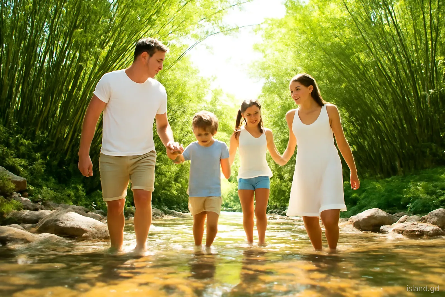
Grenada's rivers would barely count as streams on a continental map. Most are only a few kilometres long, running from the central mountains to the sea in steep, rocky beds. Yet they shape the island far more than their size suggests. They carved the valleys where villages stand, they supply much of the island's drinking water, they feed the waterfalls that draw visitors, and they can turn from clear trickles into brown torrents within an hour of heavy rain.
Understanding the rivers helps make sense of the main island's geography, and it is also a safety matter. This article looks at how Grenada's rivers work, which ones matter most, how people use them, and what to watch out for near them.
How Grenada's river system works
The main island's high ground runs roughly north to south through its centre, and rivers radiate outwards from it like spokes. Those on the windward side flow east to the Atlantic; those on the leeward side flow west to the Caribbean Sea; and in the south, smaller streams run down to the bays of St George and St David.
Because the island is small and the mountains high relative to its width, the rivers fall steeply. They tumble over boulders, cut gorges and form waterfalls where they cross harder rock. Their catchments are small, so rain in the hills reaches the coast quickly. That makes them lively and clear in normal conditions, but quick to flood.
The windward rivers tend to be larger and more numerous, because the eastern slopes catch more rain from the trade winds. The leeward rivers are shorter and steeper, dropping through narrow valleys to the river-mouth villages along the west coast. In the dry south, many watercourses flow only after rain.
Rivers worth knowing
Great River. Often described as the island's largest river, it drains a broad area of the windward slopes in St Andrew and reaches the Atlantic on that side. Its valley holds farmland and villages, and its size makes it significant for water supply and flooding.
Balthazar River. Also in St Andrew, the Balthazar is known for river tubing, with operators running guided trips down its rapids and pools. Conditions depend heavily on recent rain.
Concord River. Flowing west in St John, it passes the Concord waterfalls, reached by a road climbing inland from the coast near Black Bay. The valley is lush with nutmeg and cocoa.
River Antoine. In St Patrick, near Lake Antoine, this river historically powered estate machinery and still turns the water wheel at the River Antoine distillery.
Beauséjour River. Just north of St George's, it reaches the sea at Beauséjour Bay. Its lower course runs through a populated valley close to the capital, where heavy rain can cause local flooding and where rubbish in the channel makes matters worse.
Rivers and drinking water
Much of Grenada's piped water comes from surface sources: intakes on rivers and streams in the hills, feeding treatment plants and reservoirs run by NAWASA, the National Water and Sewerage Authority. This makes the condition of the upper river valleys a public matter, because farming, clearing, dumping and quarrying in a catchment can affect what comes out of household taps.
In the dry season, river flows drop, and parts of the island can face water shortages or scheduled supply interruptions. In heavy rain, intakes can be overwhelmed by silt and debris, and supply may be cut temporarily while treatment plants catch up. Both situations explain why many households keep storage tanks and why water conservation messages appear in dry spells.
For visitors and new residents, the practical point is to follow NAWASA notices, keep some water stored, and avoid drinking untreated water directly from rivers, however clear it looks. Farms, livestock and villages upstream can affect water quality.
River limes and daily use
Rivers have long been central to rural life. Before piped water reached most homes, people washed clothes, bathed and collected water at rivers and springs, and older Grenadians often remember river days as part of childhood. In some areas, rivers are still used for washing and bathing.
The river lime is a cherished tradition: friends or family gather by a river pool, often on a holiday or weekend, to swim, talk and cook. A pot may be set on a wood fire to make oil down, fish broth or other one-pot dishes, and the day stretches into the late afternoon. Popular spots tend to be known locally rather than signposted.
Rivers also support freshwater life, including crayfish and small fish that people have traditionally caught for food. Their mouths, where fresh water meets the sea, are productive areas for fishing and shelter for young fish, which is one reason many fishing communities sit at river mouths.
Waterfalls: where rivers meet hard rock
Grenada's waterfalls are a direct product of its steep rivers. Where water flows over a band of resistant volcanic rock or drops off the edge of an old lava flow, a fall forms, often with a pool at the base. The best known include Annandale and the Grand Etang area falls, Concord in St John, the Seven Sisters in the forest of St Andrew and the Mount Carmel falls near Marquis, which are often described as the island's tallest.
The volume of a waterfall depends heavily on recent rain. In the dry season, some falls shrink to a thin stream; after heavy rain, they can become thundering and dangerous. Pools that are safe for swimming on a dry morning can become hazardous after a downpour upstream.
Access to waterfalls varies. Some have paths, facilities and fees collected by landowners or community groups; others require hikes along slippery, muddy trails, ideally with a guide. Check current access arrangements locally, as conditions can change after storms.
Staying safe near Grenada's rivers
Rivers cause more trouble than many visitors expect. These are the rules local people follow, often learned the hard way.
- Watch the hills, not just your sky. Rain in the mountains can raise a river quickly even when it is sunny where you are. Rising water, rapidly browning colour and floating debris are warnings to get out immediately.
- Never cross a flooded river or ford. Fast water only knee-deep can knock a person over, and vehicles can be swept off low crossings.
- Avoid riverside trails after heavy rain. Rocks become slippery, banks can collapse and landslips are more likely.
- Check pools before jumping. Depths change after floods, and rocks and logs can be hidden below the surface.
- Do not drink untreated river water. Clear water can still carry bacteria from farms and settlements upstream.
- Leave no rubbish. Plastic and waste left at river limes wash downstream into the sea and can block intakes and drains.
Rivers under pressure
Like many small islands, Grenada faces pressures on its rivers. Clearing land on steep slopes increases erosion and silt, which muddies rivers, fills intakes and smothers reefs at river mouths. Dumping of rubbish and waste in gullies is a long-standing problem, and blocked channels make urban and village flooding worse.
Sand and gravel removal from river beds and beaches has also been a concern, since it destabilises banks and can increase coastal erosion. Authorities have moved to control it, and environmental groups and community projects have worked on clean-ups, tree planting and watershed protection.
Climate change adds to the strain, with longer dry spells that reduce flows and more intense rainfall events that raise flood risk. Protecting forests in the upper catchments, especially around the central highlands, is widely seen as the best long-term defence for both water supply and flood control.
Frequently asked questions
What is the biggest river in Grenada?
The Great River in St Andrew is often described as Grenada's largest river. It drains a wide area of the windward slopes before reaching the Atlantic. Like all Grenadian rivers, it is short by continental standards but can rise quickly after heavy rain in the hills.
Is it safe to swim in Grenada's rivers?
Rivers and waterfall pools can be pleasant for swimming in settled weather, but they become dangerous after rain, when levels rise fast and currents strengthen. Check depths, avoid jumping blind, watch for rising water and never swim during or soon after heavy rain.
What is a river lime in Grenada?
A river lime is a social outing by a river, usually with friends or family on a weekend or holiday. People swim, relax, talk and often cook a one-pot meal such as oil down over a wood fire beside the water.
Where can you go river tubing in Grenada?
Guided river tubing trips are run on the Balthazar River in St Andrew, floating through rapids and pools. Trips depend on water levels, so they may be adjusted or cancelled after heavy rain or during very dry spells. Book with an established operator.
Can you drink water from Grenada's rivers?
No. Even clear river water can contain bacteria from farms, livestock and communities upstream. Drink treated tap water where supply is reliable, bottled water, or water you have boiled or filtered properly. Much of the piped supply itself comes from treated river intakes.