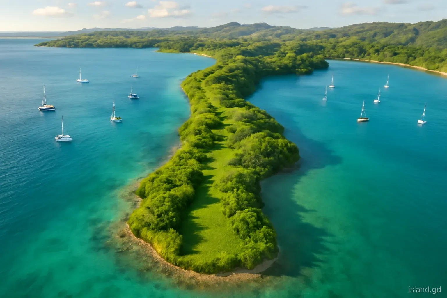
Look at Grenada's south coast from the air and it resembles a hand with its fingers spread: long, low points of land reaching south into the sea, with deep, narrow bays between them. From Point Salines in the west to Westerhall in St David, almost every bay is a natural harbour, and almost every point carries a different mix of homes, dry forest, salt pond and reef.
This is the part of Grenada most visitors see first, because the airport and the main hotel strip are here. But beyond Grand Anse the coast becomes quieter, more varied and more interesting than its reputation as the 'tourist south' suggests. Its shape also explains why so many yachts spend the hurricane season here: the bays offer shelter that open Caribbean coasts cannot.
Why the south coast looks like this
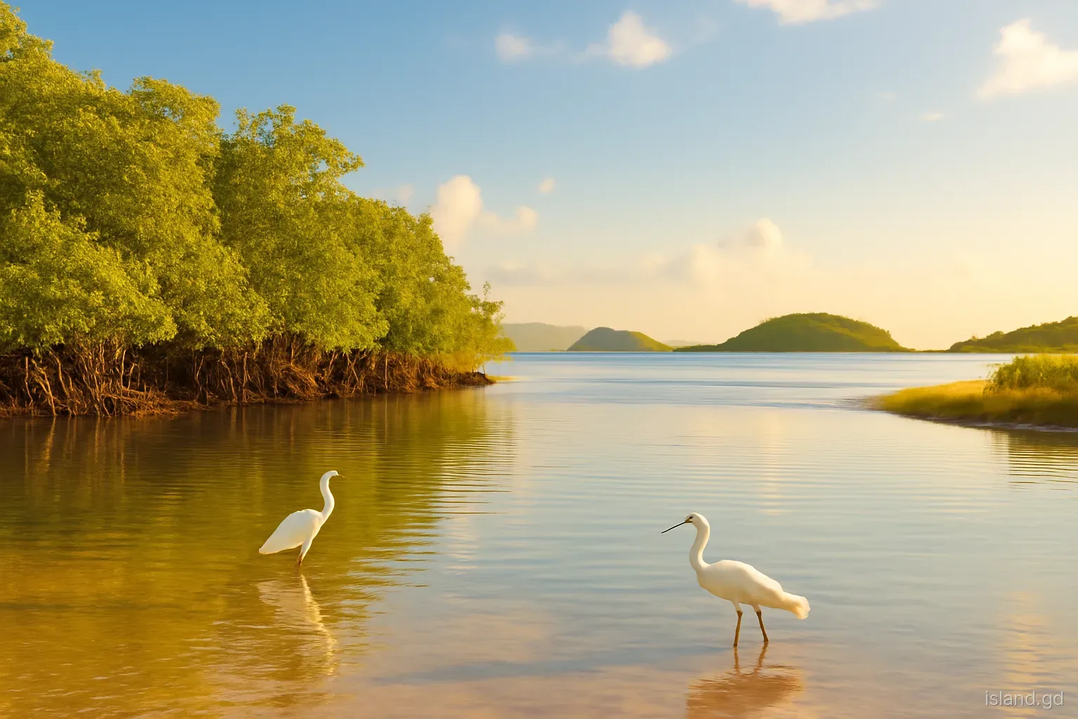
The south of the main island is low compared with the volcanic interior, and its coastline is heavily indented. Valleys running south towards the sea were drowned as sea levels rose after the last ice age, leaving the long inlets that now form the bays, while the ridges between them stand out as points and peninsulas. Coral reefs fringe many of the headlands, and some of the inner bays are edged with mangroves.
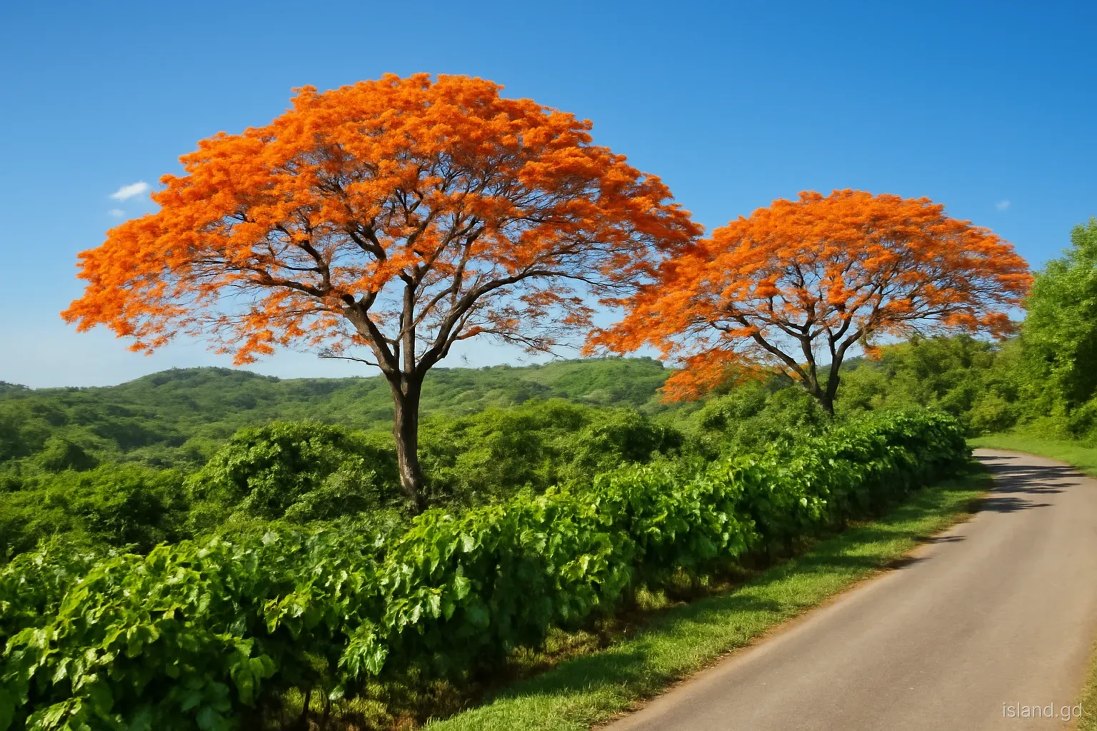
Rainfall is low by Grenadian standards, so the natural vegetation is dry forest and scrub rather than rainforest. In the dry season, roughly January to May, the hills go brown and leafless; when the rains return from around June, they green up within weeks.
This combination of shelter, calm water and dry, sunny weather is what made the south the centre of tourism, yachting and residential development. It also makes the remaining patches of natural dry forest and mangrove more valuable, because so much of the coast has already been built on.
From Point Salines to Morne Rouge
Point Salines. The south-western tip is flat and open, with the international airport occupying much of it, salt ponds nearby and a lighthouse point at the end. The land is scrubby and windswept, and the sea off the point can be rough where currents meet.
True Blue. The point east of the airport holds St George's University's campus, which dominates the area. The bay beside it is used by yachts, and the community around it has a large student population.
Morne Rouge and Grand Anse. To the north of the airport, Grand Anse is the long beach that faces west towards St George's, and Morne Rouge is the smaller, rounder bay just south of it, sheltered by Quarantine Point. Both are calm, sandy and heavily used, with hotels behind them.
What changes here. This stretch is the most developed on the island: roads are busy, hotels and restaurants line the shore, and natural coastline is limited to the rocky headlands. It is convenient rather than wild.
Lance aux Épines, Prickly Bay and Mount Hartman
East of True Blue, the Lance aux Épines peninsula runs south between Prickly Bay to the west and Mount Hartman Bay to the east. Lance aux Épines is mainly residential, with large homes, gardens and a few hotels, and it has a reputation as one of the island's quieter, more expensive neighbourhoods. Prickly Bay is a busy anchorage with a marina and yacht services, so the water is often full of boats from many countries.
Mount Hartman Bay, also known for its marina, sits in a deep inlet with Hog Island off its mouth. Inland, the Mount Hartman area holds one of the most important blocks of dry forest in Grenada, protected largely because it shelters the Grenada dove, the national bird, which survives in only a few areas of the island. The dove is shy and hard to see, but its call, a soft repeated note, carries through the dry woodland.
Development pressure on this peninsula has been a long-running conservation issue, which is worth knowing if you are looking at land or property in the area.
Woburn, Clarkes Court Bay and Calivigny
Further east the coast becomes more rural and more maritime. Woburn is a fishing and farming village on the bay of the same name, with views towards Hog Island and Calivigny Island. Boats are hauled up near the shore, and the village has a working, local feel quite different from Lance aux Épines.
Clarkes Court Bay, beyond it, is one of the largest and best-sheltered inlets on the coast, with several smaller coves branching off it and a marina on its shore. The water inside is calm even when the open sea is choppy. Around the bay, hills slope down to mangroves and small beaches, and many homes have been built on the ridges for the views.
East again, the Calivigny area wraps around another set of inlets, with Calivigny Island, a private island resort, lying offshore. On land, the area is a mix of residential plots, scrub and pockets of mangrove, and the coves are used as quiet anchorages.
Into St David: Egmont, Westerhall and beyond
Beyond Calivigny, Egmont Harbour is a deep, sheltered inlet favoured by yachts. Crossing into the parish of St David, the coast keeps the same pattern of inlet and point but feels quieter still. Westerhall Point is a residential peninsula with homes set among gardens and dry woodland, looking out over calm bays.
Beyond Westerhall, the coast continues towards Petit Bacaye and La Sagesse. The further east you go, the more the Atlantic influence shows: swell starts to reach the shore, beaches become wilder, and the land behind them is more agricultural. La Sagesse, with its mangrove-backed bay and salt pond, marks the point where the south coast begins to turn into the windward coast.
St David has no single main town, which partly explains the scattered, village-based settlement along this stretch. Shops and services are thinner than in the Grand Anse area, so residents and visitors tend to drive west for supermarkets and banks.
Reefs, mangroves and marine protection
Below the waterline, the south coast is as varied as above it. Fringing coral reefs grow off many of the points, seagrass beds fill the shallower parts of the bays, and mangroves line sheltered inner shores where mud and fresh water collect. Each habitat supports the others: mangroves and seagrass act as nurseries for young fish that later move out to the reefs, and the reefs break waves that would otherwise erode the beaches.
Recognising this, Grenada created a marine protected area covering the Woburn and Clarkes Court Bay area, alongside others such as Moliniere-Beauséjour on the west coast and the Sandy Island Oyster Bed area in Carriacou. Within protected areas, rules restrict activities such as anchoring on coral, certain kinds of fishing and taking marine life, and fees may apply to some users. The details are set and enforced by the fisheries authorities, so check current rules before fishing, diving or anchoring.
For visitors, the practical takeaway is simple: snorkel from beaches or with operators who use moorings, never stand on coral, and leave shells, starfish and sea urchins where they are.
What to check before exploring the south coast
The south looks easy, and mostly it is, but a few local realities catch people out.
- Most bays are best seen from the water. Roads run along the ridges and many shorelines are private or reached only through residential areas. A boat trip or kayak tour shows the inlets far better than driving.
- Beach access is public, but paths are not always obvious. In Grenada the foreshore is public, yet access routes can run past private homes. Use recognised paths and be courteous.
- Swimming in anchorages is not ideal. Busy bays such as Prickly Bay carry dinghy traffic and boat waste, so swim at beaches rather than among moorings.
- Mangroves are protected habitat. Do not cut, clear or dump near them; they shelter juvenile fish and buffer the coast during storms.
- Hurricane season brings boats. From about June to November, the bays fill with yachts sheltering in Grenada's southerly location, which changes the feel of the anchorages.
- Dry season fire risk is real. Scrub on the southern hills can burn in the dry months, so never leave fires or discard cigarettes.
Frequently asked questions
Why does Grenada's south coast have so many bays?
The south coast is a series of drowned valleys. As sea levels rose after the last ice age, the valleys filled with sea water, creating deep inlets separated by low ridges. The result is a row of sheltered bays and points running from Point Salines east to St David.
Where can the Grenada dove be seen?
The Grenada dove survives in a few areas of dry forest, most notably around Mount Hartman on the south coast and at Halifax Harbour on the west coast. It is shy and rarely seen, and it is more often heard than spotted. A local birding guide improves the odds.
Which part of the south coast is quietest?
The stretch from Woburn east through Calivigny, Westerhall and into St David is noticeably quieter than Grand Anse and Lance aux Épines. It is more residential and rural, with fewer hotels, and shops are further apart.
Is Lance aux Épines a town?
No. Lance aux Épines is a residential peninsula in St George, south-east of the airport, with large homes, gardens, a few small hotels and access to Prickly Bay and Mount Hartman Bay. Its nearest commercial area is the Grand Anse and Spiceland area.
Why do so many yachts stay in southern Grenada?
Grenada lies near the southern edge of the usual hurricane belt, and its south coast offers deep, protected bays with marinas and boatyards. Many insurers and sailors treat it as a safer base during hurricane season, although storms can and do still reach the island.