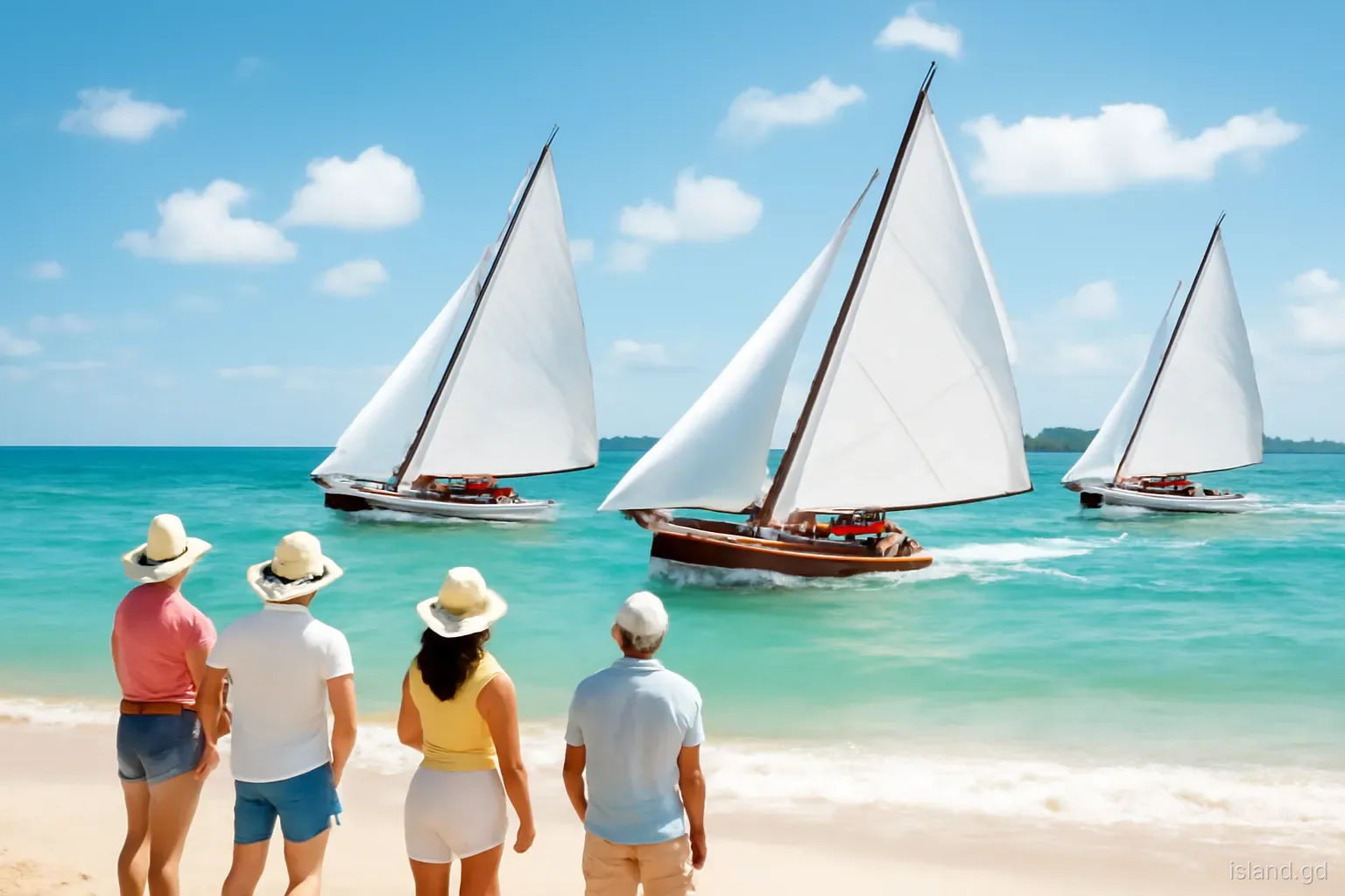

Hillsborough is where most visits to Carriacou begin: the ferry has traditionally tied up at its jetty (since Hurricane Beryl it has also landed at Tyrrel Bay, so check), the island's offices and banks line its streets, and the bay in front of it looks out to Sandy Island. It is easy to treat it as a place to pass through. But Hillsborough and the heights of Belair above it hold much of the island's visible history, from colonial-era stone ruins to the institutions that run modern Carriacou.
The town is small enough to walk end to end in a few minutes, and Belair lies a short, steep climb or drive inland. Together they make a half-day route that explains how Carriacou has been governed, how it made a living and how it has rebuilt after storms, most recently Hurricane Beryl in July 2024.
This guide is not a list of shops; it is a way of reading the landscape of the town and the hills.
Why the town sits where it does
Hillsborough lies on the west coast, roughly halfway along the island, on a curving bay sheltered from the trade winds. Shallow water close to shore, a gently sloping beach and flat land behind made it a natural landing place. Sandy Island and Mabouya Island offshore, with their surrounding reefs, give the bay further protection.
Under British rule from the later eighteenth century, the town became the island's administrative centre, and its English name reflects that period. Ships from Grenada, St Vincent and beyond landed goods and passengers here, and it became the hub of trade, government and later the ferry service.
The town grew along the shore rather than up the hills. Its main street runs parallel to the beach, with narrow lanes leading inland. Behind it, the land rises towards Belair, and from the higher ground the shape of the settlement becomes clear: a thin strip of buildings between sea and hills, with the jetty at its centre.
Churches mark the town's social geography. Anglican, Roman Catholic and other congregations each have their buildings in or near Hillsborough, and their bells, services and festivals are part of the weekly rhythm. On Sundays the town is quiet in the morning and busier after church, when families gather and visit.
The waterfront: jetty, main street and town buildings
The jetty is the town's focal point. Ferries from the main island and Petite Martinique arrive here, cargo boats unload supplies, and water taxis tie up nearby. The area around it is the busiest in Carriacou, with taxis, minibuses, vendors and travellers.
Along the main street, older buildings mix with newer concrete structures. Some timber and stone buildings from earlier eras survive, with verandas and shutters typical of Caribbean towns, while others were replaced after fires, decay or storms. Government offices, including those connected with the Ministry of Carriacou and Petite Martinique Affairs, police, customs and immigration, share the town with banks, shops, churches and small restaurants.
Walking the street, it is worth noticing how much of the town faces the sea and how close buildings sit to the water. This exposure makes Hillsborough vulnerable to storm surge and hurricanes, a lesson reinforced when Beryl damaged buildings across the town in 2024.
The museum and the story it tells
Hillsborough has a small museum, run by the local historical society, that has long been the island's main collection of historical material. Its displays have covered Amerindian artefacts found on Carriacou, objects from the colonial and plantation periods, and material on the island's African heritage, boatbuilding and traditions.
Amerindian sites on Carriacou have yielded pottery, tools and other evidence of long settlement before Europeans arrived, and archaeological work on the island has added to understanding of its early history. Colonial-era objects, from estate tools to household items, show the plantation economy, while items linked to the Big Drum and boat launchings reflect the island's living culture.
Opening arrangements for small museums can be irregular, and the hurricane may have affected the building and collection. Ask in town or check with the tourism office before planning a visit, and if it is open, allow time to talk with the people who run it, who often know far more than the labels say.
Climbing to Belair
Belair is the high ground inland from Hillsborough, reached by a road that climbs steeply out of town. The climb itself is part of the experience: as the road rises, the view widens over the rooftops, the bay and the islands beyond.
Belair has long been an important site. In the colonial period it held estate buildings, and the area still contains stone ruins, including remains associated with an old estate and a windmill tower, reminders of the era when Carriacou's land was worked for export crops. The ruins are weathered and partly overgrown, and should be explored carefully.
Today Belair is also home to the Princess Royal Hospital, Carriacou's main hospital, which serves the island and Petite Martinique. Its presence means the road is busy with traffic to and from the hospital, so walkers should keep to the side and take care on bends.
From the top, the geography of the whole west coast falls into place. Hillsborough Bay curves below, with the jetty, the town and the line of the beach; to the south lie Lauriston, L'Esterre Bay and the hills above Tyrrel Bay; offshore, Sandy Island and Mabouya sit on their reefs. On clear days the view reaches the islets towards the main island.
What the ruins and landscape reveal
The estate economy. Stone foundations, walls and windmill remains point to a time when Carriacou's land was organised into estates growing crops such as cotton and, earlier, sugar, worked by enslaved Africans.
Water scarcity. Cisterns and water-catchment structures at old estates show how scarce fresh water has always been on an island without rivers.
Views as defence. High ground such as Belair gave a commanding view over Hillsborough Bay and the approaches by sea, valuable in colonial times for watching shipping.
Changing land use. Around the ruins, dry forest and scrub have reclaimed former fields, showing how the landscape changed after the decline of the plantation economy.
Modern resilience. New buildings, rebuilt roofs and repaired infrastructure around Belair and the town reflect the island's repeated recovery from storms, including Beryl.
A self-guided half-day route
This route takes around three to four hours at an easy pace, depending on heat and stops. Start early to avoid the midday sun.
- Begin at the Hillsborough jetty and walk the main street, noting older buildings, churches and the waterfront.
- Visit the museum if it is open, and ask locally about current opening times beforehand.
- Take a break by the beach in town and look out to Sandy Island and Mabouya Island.
- Climb, or take a taxi, up the road towards Belair, pausing to look back over the bay as the view opens.
- Explore the ruins at Belair carefully, staying on paths and away from unstable walls.
- Enjoy the views over Hillsborough, the bay and the islands before descending.
- Return to town for food and water, and consider a visit to another part of the island in the afternoon.
Pitfalls on this walk
The route is simple, but a few things catch people out.
- Heat and sun. The climb to Belair is steep and exposed in places. Carry water, wear a hat and avoid the middle of the day.
- Traffic on the hill road. The road to Belair serves the hospital and residents. Walk facing traffic and take care on bends.
- Unstable ruins. Old walls can be fragile. Do not climb on them, and watch for loose stones and thorny plants.
- Assuming things are open. Museum hours, businesses and facilities can change, especially after Beryl. Check locally.
- Ignoring the hospital. Keep noise down and do not block access near the Princess Royal Hospital.
- Forgetting cash. Small shops and vendors may not take cards. Carry Eastern Caribbean dollars.
Frequently asked questions
What is Belair in Carriacou?
Belair is the high ground inland from Hillsborough, with colonial-era stone ruins, including remains linked to an old estate and windmill, and wide views over Hillsborough Bay and the islands. It is also home to the Princess Royal Hospital, Carriacou's main hospital.
Is there a museum in Carriacou?
Yes, Hillsborough has a small museum run by the local historical society, with material on Amerindian history, the colonial period, African heritage and island traditions. Opening hours can be irregular and may have been affected by Beryl, so ask locally before visiting.
How long does it take to walk from Hillsborough to Belair?
Walking from Hillsborough to Belair takes roughly half an hour or more, depending on fitness, heat and stops. The road is steep and exposed in places, so many visitors take a taxi up and walk down. Start early and carry water.
What hospital serves Carriacou?
The Princess Royal Hospital at Belair, above Hillsborough, is Carriacou's main hospital, serving residents and visitors from Carriacou and Petite Martinique. Beryl damaged its facilities in 2024, so check which services are currently available. Serious cases may be transferred to the main island of Grenada. Check current services, as facilities were affected by Beryl.
Why is Carriacou's main town called Hillsborough?
Hillsborough is a British name dating from the colonial period, when Carriacou came under British rule along with Grenada in the eighteenth century. Several French place names, such as L'Esterre, survive elsewhere on the island from the earlier period of French influence.