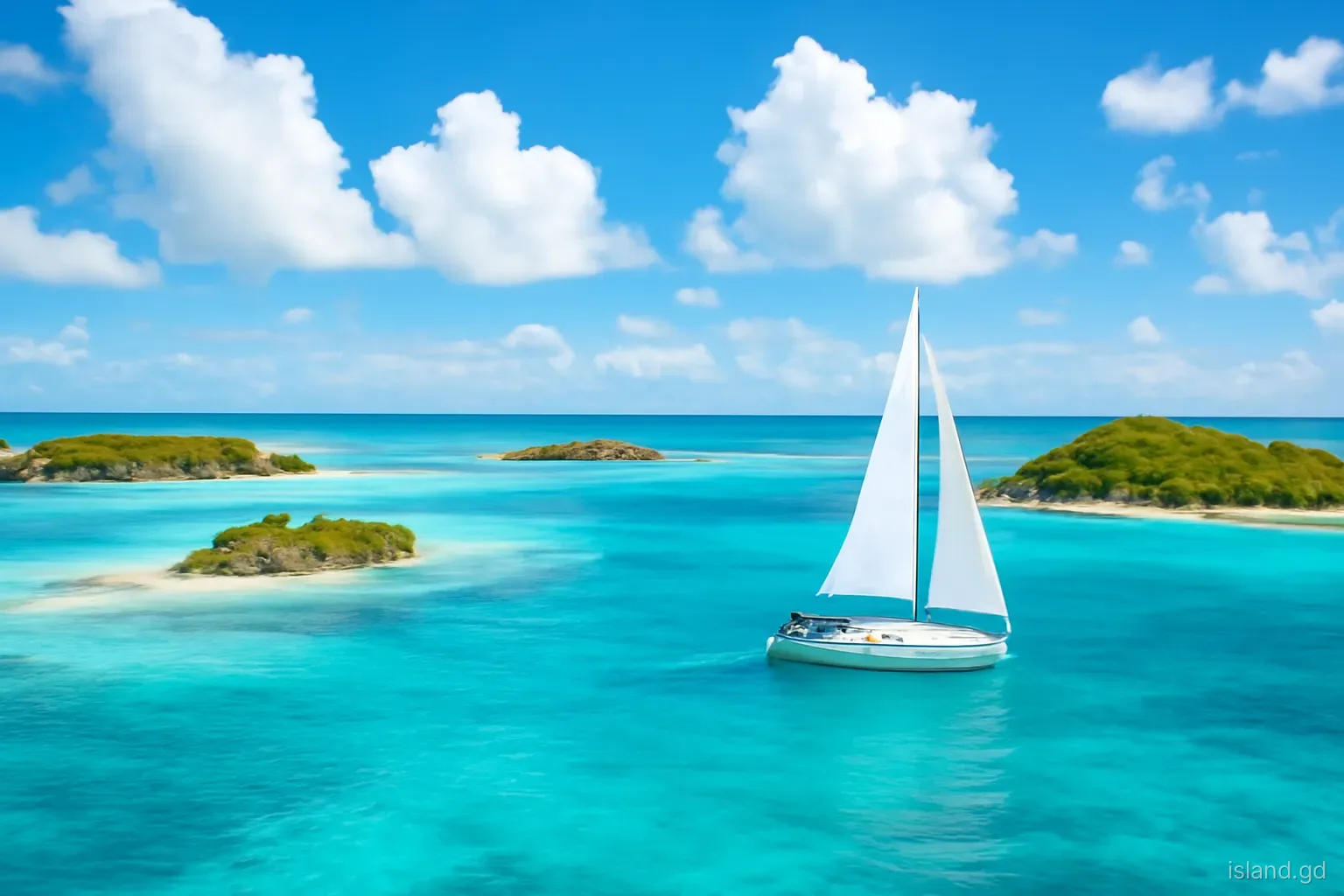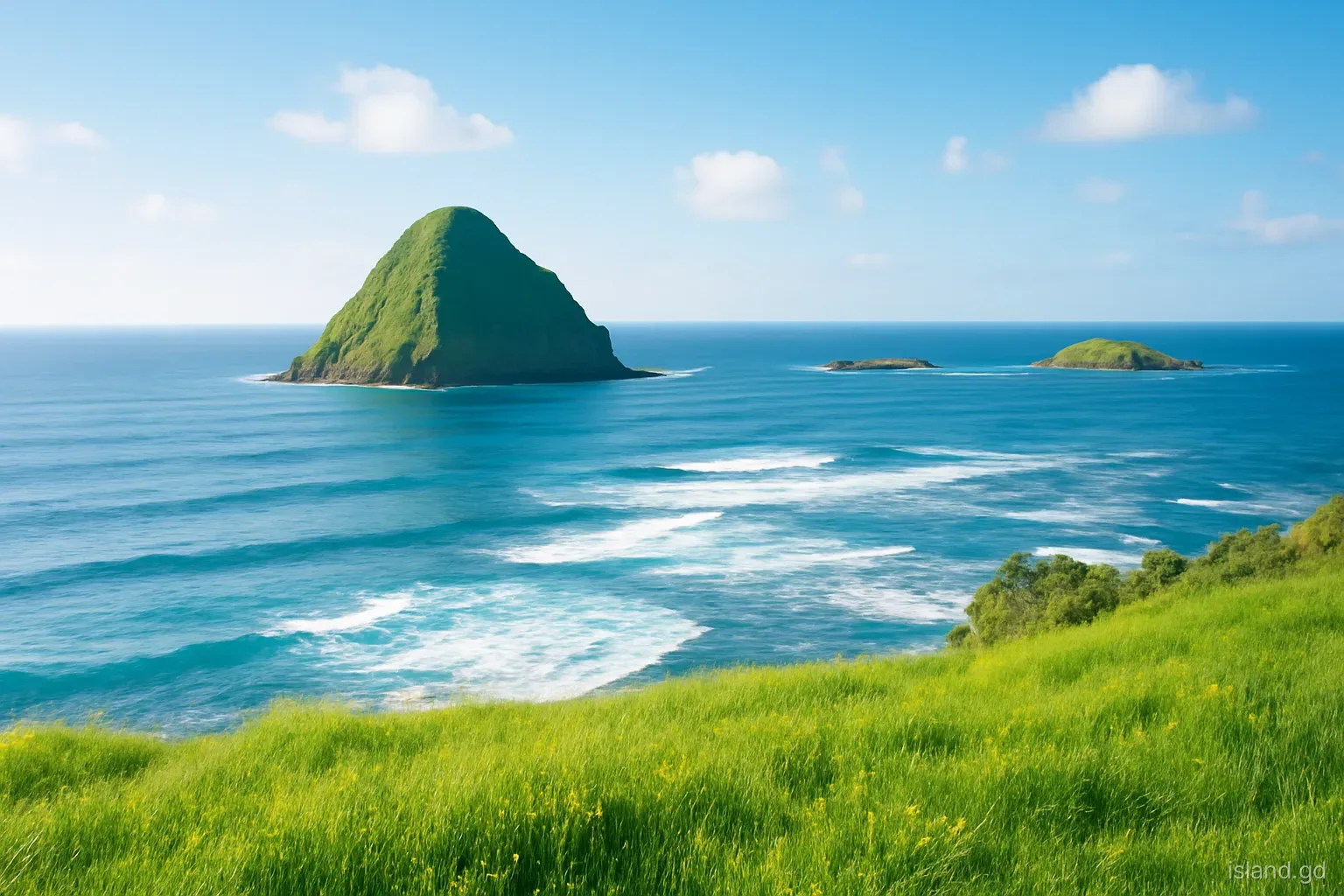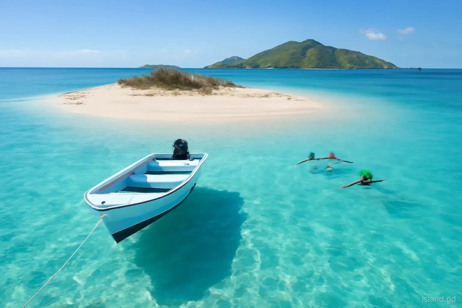
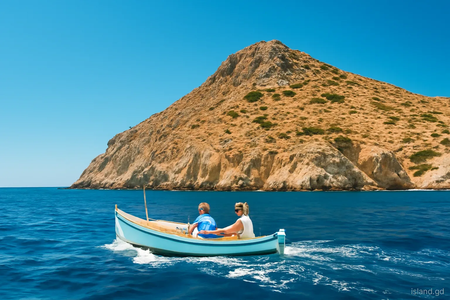
Sail or fly north from Grenada towards Carriacou and the first land you pass is a scatter of steep, dry islands and rocks rising from deep water: Isle de Ronde, Caille, Diamond Island and a cluster of smaller outcrops. They are the southernmost islands of the Grenadines chain and among the least visited places in the state of Grenada.
Just west of them, hidden beneath the sea, lies Kick 'em Jenny, the most active submarine volcano in the Eastern Caribbean. Its presence shapes how boats move through the area and why official alert levels matter to anyone on the water here.
This article profiles the islands between Grenada and Carriacou, explains the volcano and its exclusion zones and covers what to know before heading into these waters. Few facilities exist on any of these islands, and conditions in the channel can be demanding, so local knowledge is essential.
The channel between the islands
The stretch of sea between Grenada's northern tip at Sauteurs and Carriacou is open water, exposed to the north-east trade winds and the Atlantic swell that sweeps in from the east. A westward-setting current runs through it, sometimes strongly, and the sea can be short and steep when wind and current oppose each other. Anyone who has made the crossing on a ferry on a windy day knows it is rarely glassy.
The islands rise abruptly from this water. They are the tips of a submarine ridge running north from Grenada, the same volcanic arc that formed Grenada's mountains and continues through the Grenadines to St Vincent. Their slopes are steep, their soils thin, and the climate is dry, so their vegetation is mostly scrub, cacti and grass, browning heavily in the dry season.
For fishers from Sauteurs and other villages on Grenada's north coast, these waters are familiar grounds, worked for pelagic fish, reef fish and lobster. The islands provide landmarks, shelter from the swell on their leeward sides and, in some cases, places to land and rest. For most other people they are simply shapes on the horizon.
Isle de Ronde
The largest of the group. Isle de Ronde, often simply called Ronde, is the largest of the islands between Grenada and Carriacou. Its name, from French, refers to its roughly rounded shape. It rises steeply from the sea and is covered in dry scrub and grass.
A sparse human presence. Ronde has had a small and intermittent population over the years, mainly fishers who use it as a base and people grazing livestock. There are no hotels, shops or regular services, and any presence on the island is very much on the islanders' own terms.
Anchorage. There is an anchorage on the leeward side used by fishing boats and occasionally by yachts in settled weather. It can be rolly and is exposed to wind shifts, so it suits experienced sailors in suitable conditions only.
Underwater. The reefs and walls around Ronde and its neighbours are less visited than those near Grenada or Carriacou. Dive trips occasionally run here in good conditions, but currents can be strong, and the area is for experienced divers with a reputable operator.
Caille, Diamond and the rocks
Caille Island lies close to Ronde and is smaller, rocky and steep-sided. Like Ronde, it is dry and scrub-covered, and it remains a place few visitors ever set foot on. Its waters are fished, and its rocks are used by seabirds.
Diamond Island, also known locally by the name of the nearby volcano, Kick 'em Jenny, is a steep rocky islet whose shape is said to have given it its name. Around these islands are smaller rocks, including the group known as Les Tantes, and a rock arch sometimes called London Bridge, which divers occasionally visit in calm conditions. Names and spellings vary between charts and local usage.
These rocks are important seabird sites. Brown boobies, frigatebirds, terns and other seabirds roost and nest on ledges where people seldom disturb them. Landing on the smaller rocks is dangerous because of swell and steep, slippery surfaces, and it risks disturbing nesting birds. They are best appreciated from a boat at a respectful distance.
Kick 'em Jenny: the volcano under the sea
Kick 'em Jenny is an active submarine volcano lying about 8 kilometres north of Grenada's north coast, between Grenada and Ronde. Its summit is roughly 180 metres below the surface, so nothing is visible on calm days. It has erupted many times since its first documented eruption in 1939, when an eruption cloud broke the surface and was seen from land. Most later eruptions have been detected through seismic activity rather than seen.
The volcano is monitored by the Seismic Research Centre of the University of the West Indies, and Grenada's National Disaster Management Agency (NaDMA) issues alert levels and advice. The alert system uses colours: green for normal background activity, then yellow, orange and red as activity rises. At higher alert levels, exclusion zones are set around the volcano, and vessels must stay outside them.
The main hazards are not lava but changes in the water and the seabed. Gas released from the volcano can reduce the density of the water above it, which has been suggested as a potential risk to the buoyancy of vessels passing directly overhead. Eruptions can also hurl rocks and steam near the surface, and there is a small risk of local tsunami from larger eruptions or collapses. This is why the exclusion zones matter even when the volcano seems quiet.
Before you go into these waters
Whether you are sailing between Grenada and Carriacou, fishing or joining a dive trip, a few checks apply:
- Check the Kick 'em Jenny alert level with NaDMA or the Seismic Research Centre before setting out, and respect any exclusion zone, which commonly extends 1.5 kilometres from the summit at yellow and further at higher levels.
- Plan for the conditions. Expect wind forward of the beam heading north, a westward current and steep seas in strong trades. Leave early in the day and have a plan B.
- Use local knowledge. Go with an experienced skipper or operator, especially for diving or fishing near the islands. Charts and electronic positions may not be precise enough near the rocks.
- Do not plan to land. The islands have no facilities, landing is difficult in swell, and some land is private or used by residents and fishers.
- Respect wildlife. Keep away from seabird nesting areas, do not chase marine animals and take all rubbish home.
- Carry safety equipment. Life jackets, a working VHF radio and an emergency plan are essential in this exposed stretch of water.
Seeing the islands without a boat of your own
Most people see these islands from the deck of the ferry or from a small plane between Grenada and Carriacou. On the ferry, the best views are from the right-hand side heading north, though which islands pass closest depends on the route the captain takes that day. From the air, on a clear morning, the whole chain is laid out below, with the reefs showing pale around each island.
On land, the clifftops around Sauteurs at Grenada's northern tip look out over the channel. On clear days Ronde, Caille and the smaller rocks stand out against the sea, with Carriacou's hills beyond. The view is especially good in the early morning, before haze builds.
For a closer look, ask in Sauteurs or at south coast dive shops about trips to the area. Some fishers are willing to take visitors out for a fee when conditions allow, and occasional dive charters visit the reefs. Agree the plan, price and safety arrangements clearly beforehand, and accept a skipper's judgement if the trip is called off because of the sea.
Frequently asked questions
Where is Isle de Ronde?
Isle de Ronde lies between Grenada's north coast and Carriacou, in the southern Grenadines. It is the largest of the islands in that channel and is part of the state of Grenada. It has a sparse, intermittent population, mainly fishers and people grazing livestock.
Can you visit Isle de Ronde?
There are no hotels, shops or regular transport. Experienced sailors sometimes anchor in its lee in settled weather, and occasional dive or fishing trips visit the area. Go with a knowledgeable local skipper and respect residents and private land if you go ashore.
What is Kick 'em Jenny?
Kick 'em Jenny is an active submarine volcano about 8 kilometres north of Grenada, with its summit around 180 metres below the surface. It has erupted many times since 1939 and is monitored by the University of the West Indies Seismic Research Centre.
Is it safe to sail past Kick 'em Jenny?
Yes, provided you check the current alert level and stay outside any exclusion zone. NaDMA publishes the alert status and advice. At normal levels, vessels pass routinely, but at heightened levels an exclusion zone applies and must be respected.
Why is it called Kick 'em Jenny?
The origin is uncertain. A common explanation links it to the rough, choppy water in the channel, which can kick a boat about. Other stories exist, and the name is also used for nearby Diamond Island.