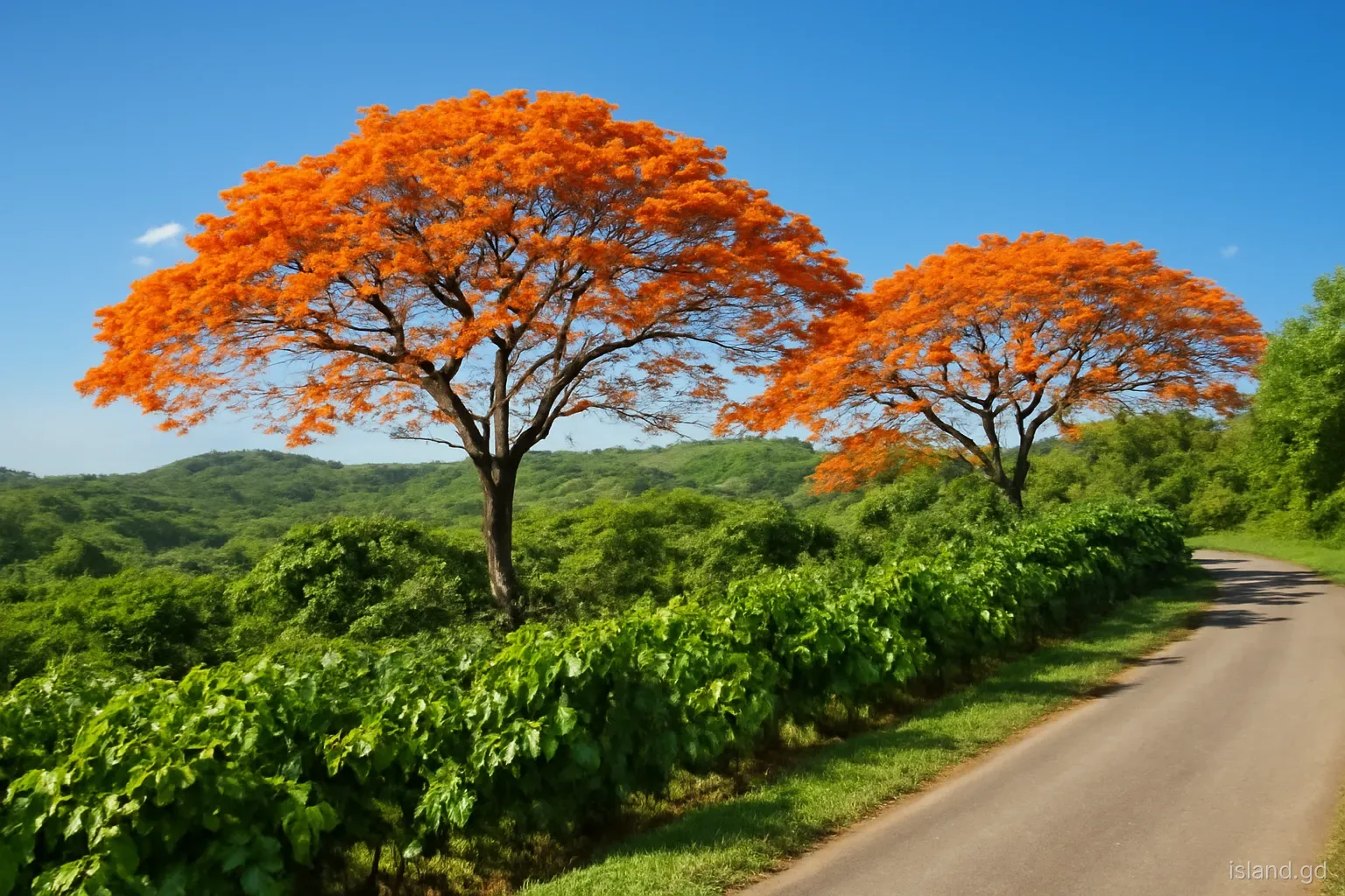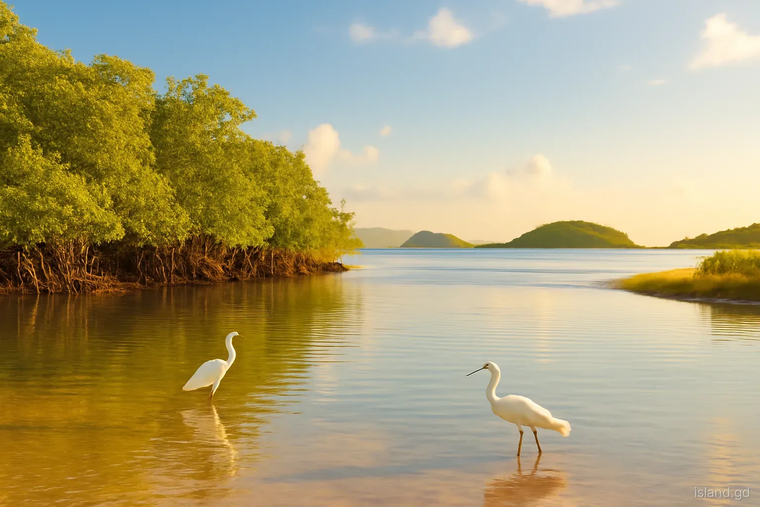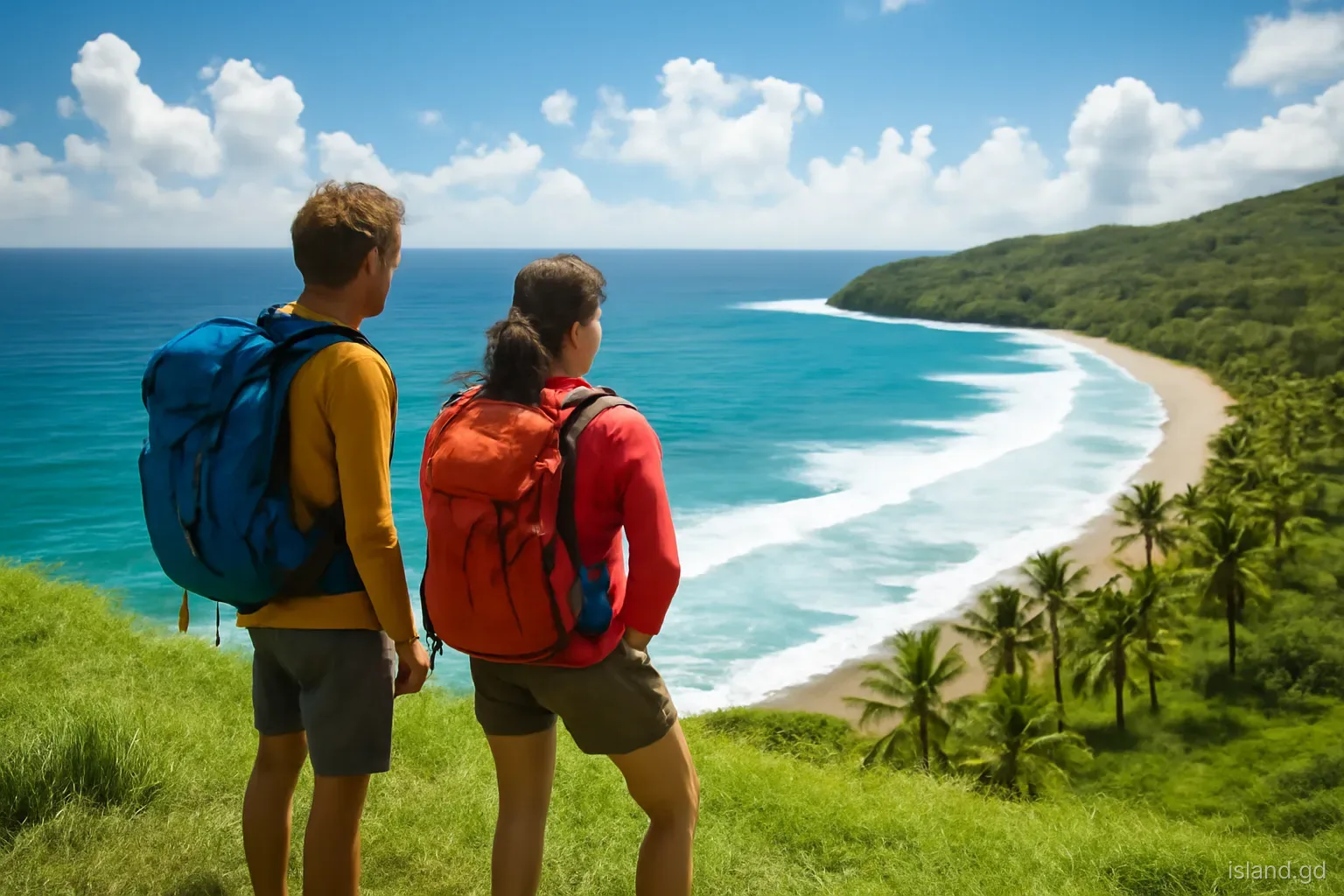
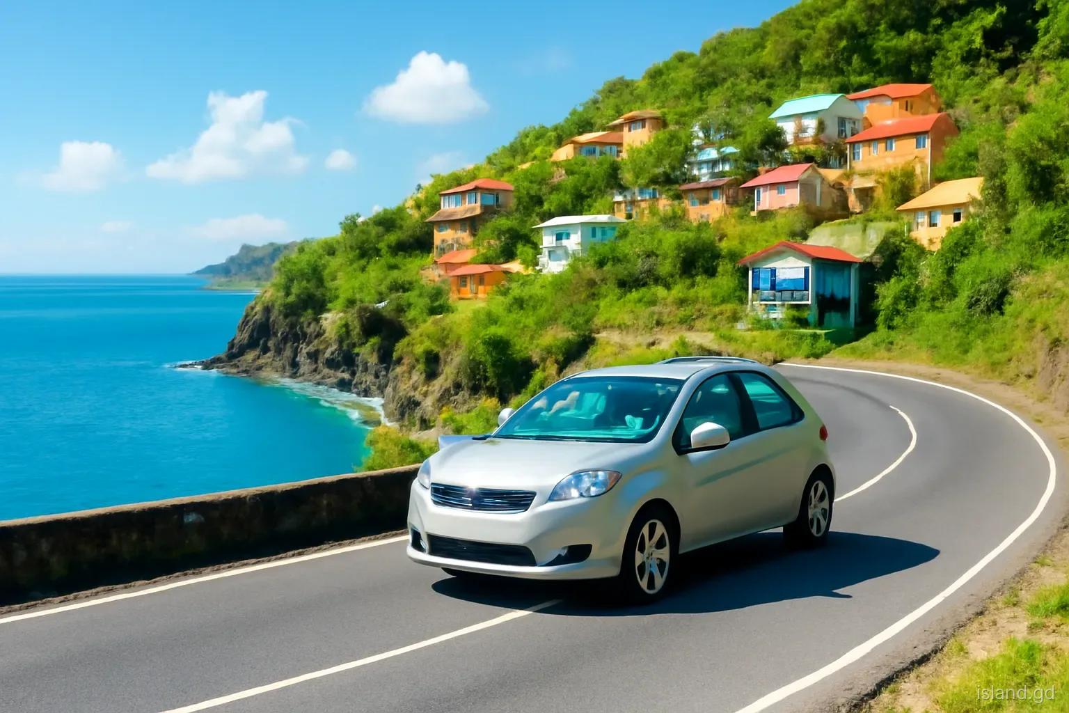
The road up Grenada's west coast is one of the most rewarding drives in the Caribbean, and also one of the slowest. It follows the leeward shore from St George's north through the parishes of St George, St John, St Mark and St Patrick, climbing over headlands, dropping into river-mouth villages and squeezing between sea walls and steep hillsides. The full run to Sauteurs is only about 40 kilometres, yet it rarely takes less than an hour and a half without stops.
What makes it worth the time is the sequence of places. Each bay holds a village with its own church, fish landing, rum shop and river, and together they show a side of Grenada that the south coast hotels do not. This guide takes the drive in order, heading north, with what to notice in each stretch.
Why the leeward villages sit where they do
Before starting, it helps to understand the pattern the drive repeats. On the leeward side, the mountains drop steeply to the sea, so flat land is scarce. The only level ground is usually where a river has carved a valley and deposited sediment at its mouth. That is where villages grew: Grand Roy, Gouyave and Victoria all sit on such river flats, with a beach in front for landing boats and fresh water behind.
The headlands between these bays are steep and rocky, so the road climbs over each one, often with sea walls below and cut rock above. The result is a rhythm of descent into a village, a short flat stretch past church, school and shops, then a climb out over the next point.
This shape also explains the economy. Calm leeward water suits fishing from small boats, so every village has a landing site, while the valleys behind grow nutmeg, cocoa and fruit. Knowing this makes the drive easier to read: each new bay is likely to hold a community, and the stretches between them are quiet, scenic and slow.
Leaving St George's: Grand Mal to Happy Hill and Beauséjour
Heading north out of St George's, the road leaves the port behind, passes the fuel terminal area at Grand Mal, then climbs above the coast. The first stretch is suburban rather than rural, with homes crowded on the slopes and frequent bus traffic, because many people commute into the capital from the villages to the north.
Beauséjour, a little further on, sits at the mouth of a valley where the land opens briefly onto a wide bay, with houses spreading up the hillsides behind it. Just beyond lies Halifax Harbour, a deep bay where the national landfill is located; the hills around it also hold dry forest where the Grenada dove has been recorded.
This is the least scenic part of the drive, so it is worth starting early and saving your stops for further north. Traffic eases once you pass the turn-offs for the communities above Beauséjour and enter St John.
St John: Grand Roy, Concord and Gouyave
St John is where the coast starts to feel like the classic leeward shore. Grand Roy is a village set around a bay and river mouth, with fishing boats on the beach and houses climbing the slopes. Inland from the neighbouring Black Bay area, a side road follows the Concord River up into the valley to the Concord waterfalls, a detour of a few kilometres on a narrow road through nutmeg, cocoa and banana land.
Gouyave, the parish town, is the busiest place on this coast. It is built on flat land at the mouth of a river and is known above all as a fishing town: its fishermen work the waters offshore for tuna and other fish, and its Friday-evening street food event has become one of Grenada's best-known weekly gatherings. The town also has a nutmeg processing station, a reminder that St John is one of the island's spice parishes.
Just outside Gouyave, the old Dougaldston estate lies inland, one of the historic spice estates of the parish. Estate visits and opening times change, so check locally before planning around them.
St Mark: Victoria and the smallest parish
Beyond Gouyave, the road enters St Mark, the smallest parish, whose town is Victoria. Victoria is quieter than Gouyave, a small coastal town with a church, a market area and a seafront where boats are drawn up on the sand. Behind it the land climbs steeply towards Mount St Catherine, the island's highest peak, whose forested summit often hides in cloud.
Some hiking routes towards Mount St Catherine begin from this side of the mountain, and the river valleys inland hold waterfalls and small farming communities. The parish's size means it has fewer services than its neighbours, but it also has less traffic and a slower feel.
St Mark marks roughly the halfway point between St George's and Sauteurs. Many drivers treat it as a pass-through, but walking the Victoria seafront for twenty minutes gives a good sense of how leeward fishing communities are organised: boats, nets, a fish market, and families on the sea wall in the late afternoon.
North of Victoria: Duquesne Bay to Sauteurs
North of Victoria, the road crosses into St Patrick and the coast begins to open up. Duquesne Bay, close to the St Mark–St Patrick boundary, has a boulder carved with Amerindian petroglyphs near the shore, one of several such sites in Grenada. They are faint and easy to miss, so slow down and look for the rocks near the beach; local residents can usually point the way.
The road then turns inland and north-east through rolling, more open country towards Sauteurs. Communities such as Mount Rich lie a short distance off the main road, and the area holds further petroglyph sites.
Sauteurs sits on the north coast beside the cliff known as Leapers Hill or Caribs' Leap. In 1651, according to the historical account, Kalinago people trapped by French forces leapt from this cliff rather than surrender. A church and memorial stand above the drop, and the view out over the sea towards the Grenadines is wide on a clear day. From Sauteurs, the road continues east towards Levera and the north-east, or south along the windward coast back to St George's.
Practical tips for the leeward drive
The leeward road is paved all the way, but it is narrow, busy in places and full of sharp bends. These points make the trip smoother.
- Drive on the left and use your horn on blind corners. Local drivers sound a short horn before tight bends; doing the same is normal, not rude.
- Expect buses to stop anywhere. Route buses pick up and drop off passengers along the road, often without warning. Leave space.
- Fuel up in St George's or Gouyave. Petrol stations exist along the route but are spaced out; do not count on the next one being open.
- Do it as a loop. Going up the leeward coast and returning via the east coast and Grenville, or across the Grand Etang road, makes a full day and avoids repeating the same road.
- Respect village life. Ask before photographing people, especially at fish landings and churches, and drive slowly through village centres where children walk on the road.
- Watch the weather in the hills. Heavy rain can cause rockfalls and minor landslips on the cliff sections. If conditions look poor, delay the trip.
- Carry cash and water. Small village shops and fish vendors along the leeward coast often deal only in cash, in Eastern Caribbean dollars, and roadside shade can be scarce at midday.
- Use local buses if you prefer not to drive. Buses run along this coast from St George's, though a full return trip to Sauteurs with stops takes most of a day.
Frequently asked questions
How long does it take to drive from St George's to Sauteurs?
Without stops, the leeward coast drive from St George's to Sauteurs usually takes around an hour and a half, depending on traffic. With time at Gouyave, Concord, Victoria and Duquesne, plan for most of a day, ideally returning via the east coast.
Is the west coast road in Grenada safe to drive?
The road is paved but narrow and winding, with sharp bends, steep drops and frequent bus stops. Confident drivers manage it well by driving slowly, sounding the horn on blind corners and keeping left. Avoid it during very heavy rain.
What is Gouyave known for?
Gouyave, the parish town of St John, is known as Grenada's fishing town and for its Friday-evening street food gathering. It also has a nutmeg processing station and sits close to old spice estates, reflecting the parish's agricultural history.
Where are the petroglyphs on the leeward coast?
One of the best-known sites is at Duquesne Bay, north of Victoria near the St Mark–St Patrick boundary, where carved figures appear on boulders near the shore. Others exist in the Mount Rich area. They are faint, so slow down and ask residents if unsure.
What happened at Leapers Hill in Sauteurs?
Leapers Hill, or Caribs' Leap, is the cliff in Sauteurs where, according to historical accounts from 1651, Kalinago people trapped by French colonists jumped to their deaths rather than surrender. A church and memorial now stand on the headland.
Can you do the leeward coast by bus?
Yes. Route buses run from St George's along the west coast to Gouyave, Victoria and Sauteurs. They are cheap and frequent in daytime, but a full return trip with stops will take most of the day, and services thin out in the evening.