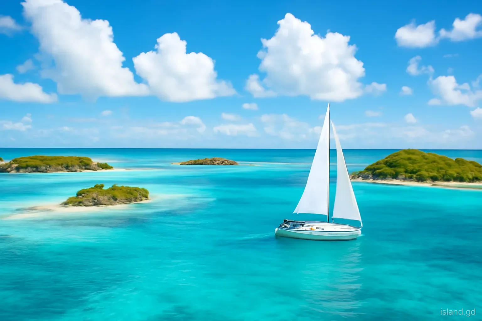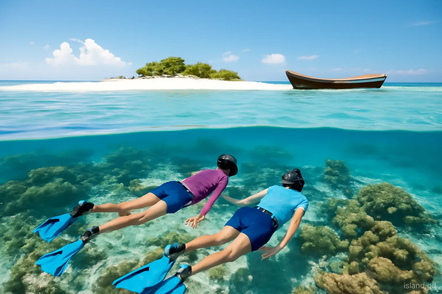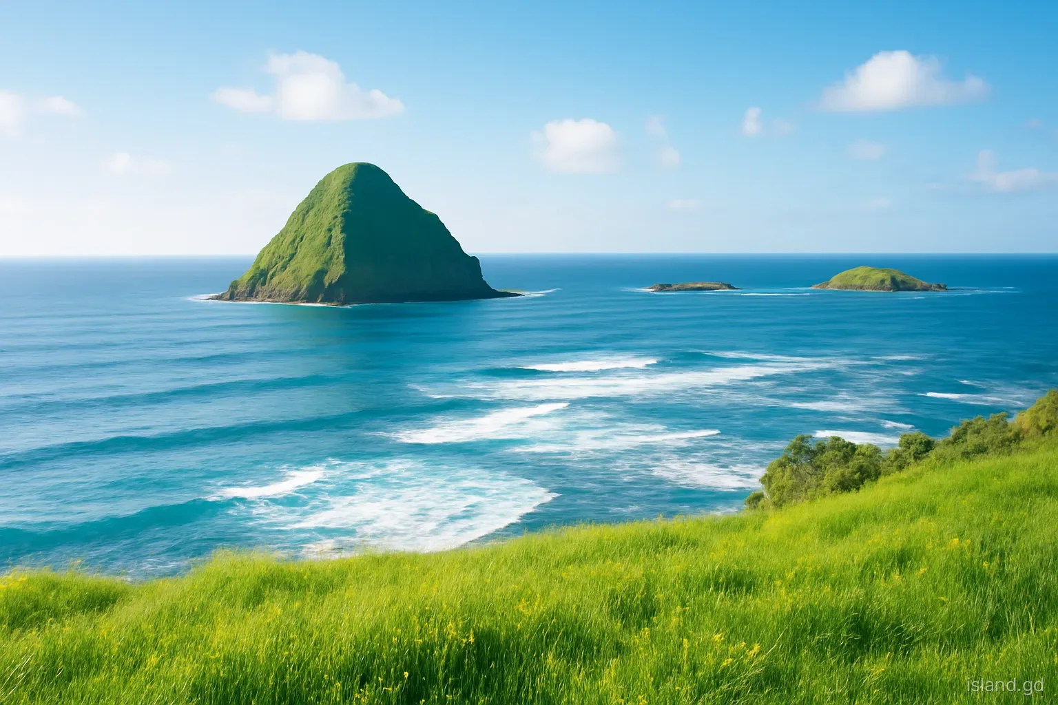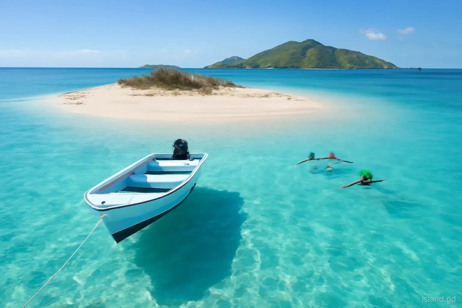
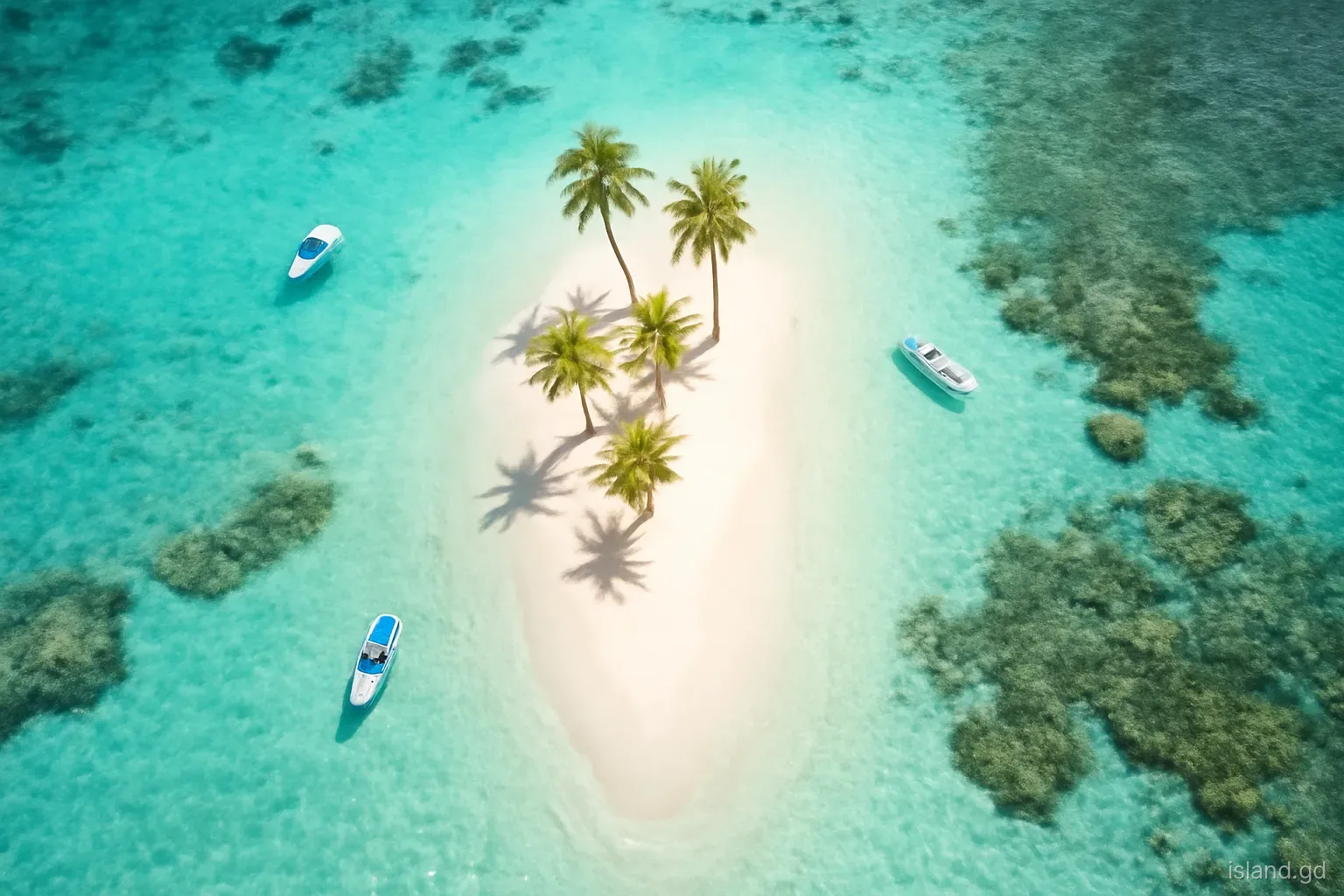
Sandy Island is the picture most people carry of Carriacou: a thin strip of white sand off Hillsborough, a few palms, and water that shades from glass-clear to deep blue within a short swim. It is also one of the most fragile places in the state of Grenada. The island is not rock but a pile of coral sand, built and rebuilt by the sea, and it has nearly disappeared more than once within living memory.
Understanding how the island works changes how you see it. The sand comes from the reef around it, the reef depends on clear water and healthy fish, and the whole system now sits inside a marine protected area. Every visitor's behaviour, from where a boat drops anchor to whether someone stands on coral, adds up.
This article looks at Sandy Island as a place: its formation, its storm history, the protected area, its neighbour Mabouya Island and what to know before going. For the beach-day practicalities, check current conditions locally, as the island's shape and vegetation changed again after Hurricane Beryl in July 2024.
Where it is and what it is
Sandy Island lies off Carriacou's west coast, a short boat ride from Hillsborough and from the long beach at L'Esterre, usually called Paradise Beach. It is a low sand cay a few hundred metres long and only a few tens of metres wide at its broadest, rising barely above the high-water mark. On calm days it looks almost weightless on the water; in a big swell, waves can wash across its lower parts.
A sand cay forms where a reef breaks the force of the waves and creates a zone where sand can settle. The sand itself is biological: fragments of coral, shells and the calcified remains of algae, broken down by waves and by parrotfish, which graze on coral and excrete fine white sand. The reef around Sandy Island is therefore both the island's protector and its source of raw material.
Vegetation is sparse: a few palms, sea grape and low shrubs that help bind the sand. Much of the planting has been replaced after storms, and the number of trees has varied a great deal over the years. There is no fresh water and, in normal times, no permanent buildings.
A storm history written in sand
Because it is made of loose sand, Sandy Island responds to every big swell. Its outline shifts, beaches build and erode, and the island can migrate slowly over time. Most of the year the north-east trade winds and the island's position on Carriacou's sheltered west coast keep it relatively calm, but storms that send swell from the west or south hit it hard.
Hurricane Lenny in November 1999 is widely remembered for exactly that. Lenny tracked unusually from west to east across the Caribbean and sent heavy swell onto west-facing coasts that normally escape the worst. Sandy Island lost much of its sand and most of its trees, and for a time it was a fraction of its former size. It recovered gradually as sand returned and replanting took place.
Hurricane Beryl in July 2024 passed directly over Carriacou and again changed the island and its surroundings. Before you visit, ask boat operators about the island's current condition and how much shade there is. Treat any older description, photograph or online review as a guide to what the island has been rather than what it is now.
The marine protected area
What it covers. Sandy Island lies within the Sandy Island Oyster Bed Marine Protected Area, often shortened to SIOBMPA, which takes in the island and its reefs, Mabouya Island, the waters off L'Esterre and the mangroves known as the Oyster Bed on the edge of Tyrrel Bay. Together they form a connected system of reef, seagrass and mangrove.
Why it matters. Mangroves and seagrass act as nurseries for young fish, which later move to the reefs. Healthy reefs produce the sand that keeps Sandy Island in existence and break the waves that would otherwise erode it. Damage to any part of the system weakens the rest.
Zones and rules. The protected area has zones with different rules on activities such as fishing and anchoring. Moorings have been provided at popular sites to reduce anchor damage. Taking coral, shells or marine life is not permitted, and rangers patrol the area.
Fees. Visitors and yachts using the protected area are generally charged a fee, collected by park staff or through operators. Amounts are set by the authorities and can change, so ask your boat operator whether it is included in the trip price.
Mabouya Island next door
Just off Sandy Island lies Mabouya Island, larger, higher and entirely different in character. It is a rocky, scrub-covered island with steep shores and little sand, uninhabited and seldom landed on. From Paradise Beach it forms the dark backdrop behind Sandy Island's pale strip.
Mabouya's value is mostly underwater. Its reefs and those nearby are among the dive sites around Carriacou, ranging from gentle slopes suited to newer divers to sites with stronger current. Two tugboats were deliberately sunk as artificial reefs in the area in the 2000s and are now encrusted with marine growth, though their depth makes them dives for experienced and suitably qualified divers only.
Landing on Mabouya is not a normal part of any trip, and the island offers little in the way of beaches or paths. Its role in the protected area is as habitat, both above and below water. Seabirds use its cliffs, and its reefs supply fish to the wider system. Enjoy it from the water and leave it undisturbed.
Visiting without harming it
Sandy Island's survival depends partly on the people who visit it. A few simple habits make a real difference:
- Go with a local water taxi or licensed operator from Hillsborough, Paradise Beach or Tyrrel Bay, and agree the price, pickup time and whether the park fee is included before setting off.
- If you are on your own boat, use a mooring where available and never drop anchor on coral or seagrass.
- Do not stand on, touch or kick coral when snorkelling. Practise floating in shallow water before heading over the reef, and keep fins well up.
- Use reef-safe sun protection, or better, cover up with a rash vest and hat, since there may be little shade on the island.
- Take everything back with you: bottles, cans, food scraps and cigarette ends. There are no bins on the island.
- Do not take sand, shells or coral fragments. Every grain helps rebuild the island after storms.
- Leave any newly planted trees and shrubs alone; they are holding the sand together.
Common mistakes
The first mistake is underestimating the sun. A sand cay surrounded by bright water reflects light from every direction, and visitors burn quickly even on a short trip, especially if shade is limited after storm damage. Plan to be in the water or under cover for the middle of the day, and drink more water than you think you need.
The second is misjudging the water. Calm shallows can hide currents along the edges of the cay and near the channels between islands, especially when the tide is running. Stay close to shore unless you are a confident swimmer, keep an eye on children and do not swim out towards Mabouya or across boat lanes.
The third is assuming the island is the same as in old photographs. Sandy Island is a living system that changes with every major storm. Ask locally about its current state, enjoy it as it is, and remember that how visitors treat it now will shape what is left for the next generation.
Frequently asked questions
How do you get to Sandy Island, Carriacou?
Water taxis and boat operators run trips from Hillsborough, Paradise Beach at L'Esterre and Tyrrel Bay. The crossing is short. Agree the fare, the pickup time and whether the marine park fee is included before you leave, and take water and sun protection.
Is there shade on Sandy Island?
Very little. The island has a few palms and shrubs, and storms, including Hurricane Beryl in 2024, have repeatedly stripped vegetation. Bring a hat, a rash vest or long-sleeved top and plenty of water, and ask operators about current conditions.
Is Sandy Island part of a marine park?
Yes. It lies within the Sandy Island Oyster Bed Marine Protected Area, which also covers Mabouya Island, the waters off L'Esterre and the Oyster Bed mangroves near Tyrrel Bay. Rules protect coral and marine life, and visitors are generally charged a fee.
Can you snorkel at Sandy Island?
Yes. The reefs and shallows around the island are popular for snorkelling. Avoid standing on or touching coral, stay close to the cay, watch for boat traffic and currents along the edges, and only go out further with a guide.
Why does Sandy Island change shape?
It is made of loose coral sand, built up where the reef breaks the waves. Big swells, especially from storms like Hurricane Lenny in 1999 and Beryl in 2024, move the sand and strip vegetation, so the island's outline shifts over time.
Can you camp on Sandy Island?
Camping is not a normal or encouraged activity on Sandy Island, which lies in a protected area and has no facilities, shade or fresh water. Ask the marine protected area authorities before planning anything beyond a daytime visit.